Day 34, Extra kilometers
February 2, 2026
Pakituhi Hut to Lake Hawea
TA km marker 2605.5 to 2616.2
Hiked today: 26.0 km
Well, as I may have mentioned, our plan today was to take the 4WD route down to Lake Hawea. This was because the TA official route, we were told, was sketchy, difficult even in good weather, not to be trusted in the wet. The forecast was for rain most of the day. On the TA app, the map showed a track which we took to be the alternative path. From what we could see, this track was about 6 or 7 km. We thought we could easily take this downhill route and arrive in Lake Hawea in time for a late breakfast.
In view of this, we were in good spirits despite not having slept much in the crowded hut. We didn’t hurry in the morning but were still on the road around 7.30. We quickly arrived at the turnoff marked on our map, only to find a gate with signs ‘Private Property Do Not Enter’ ‘surveillance cameras in operation’ ‘trespassers will be made to retrace their steps’.

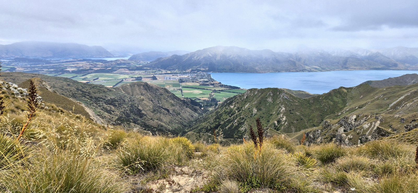
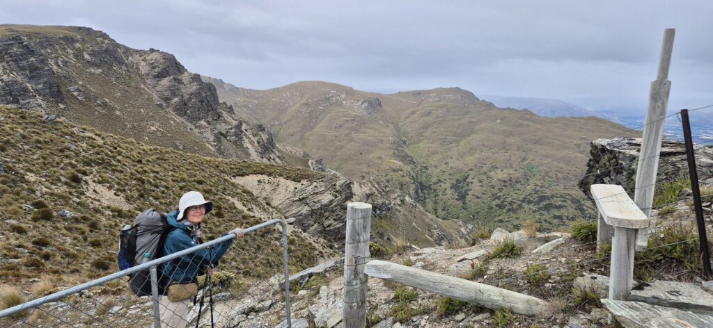
We looked again at our map and the only alternative was to continue along Grandview Mountain Ridge Road, which we reluctantly did. This was a continuation of the track we had travelled yesterday. Although the gradient was not too steep, and the road was wide, and the views were spectacular (even in the rain), it took us up to the top of every hill, winding around so we wouldn’t miss any outlook, and continued for 22 km! Not the 6 km we had planned for!
It was with sore feet that we finally arrived at the trailhead and commenced the 5km walk into town. We felt we had earned a ride for the last km, and the 2nd car we signalled stopped to squeeze us in. We are in a nice comfortable hotel with a lovely hot shower but laundry will have to wait until tomorrow when we will be in Wanaka.