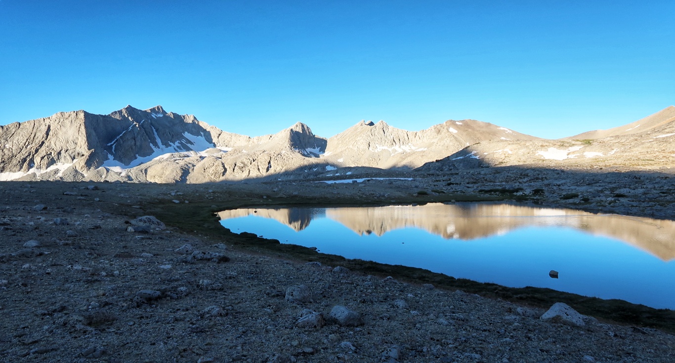
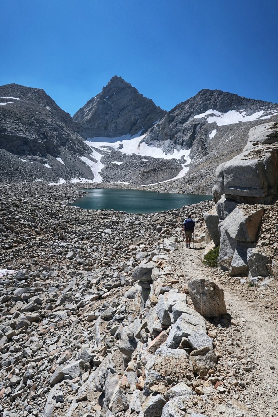
Day 134: Mather Pass
The mountain pass we climbed today is called Mather Pass.
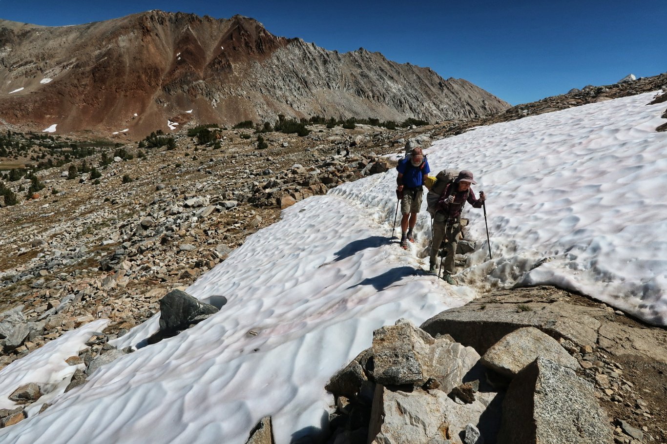
A hiker we passed on Kearsage Pass had been hiking with others on Mather a few days earlier and someone just ahead of him had slipped on icy snow and hit his head on rocks and died.
By the time we were approaching it everyone we met had heard about the accident and we were able to identify the patch of snow where it happened but the snow had receded and we could walk past on the path. Nevertheless it was a sobering reminder of how quickly accidents can happen.
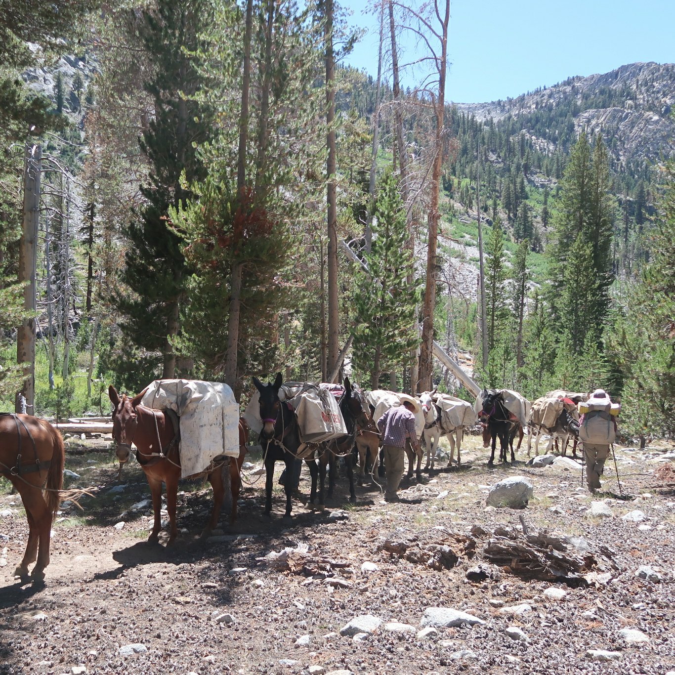
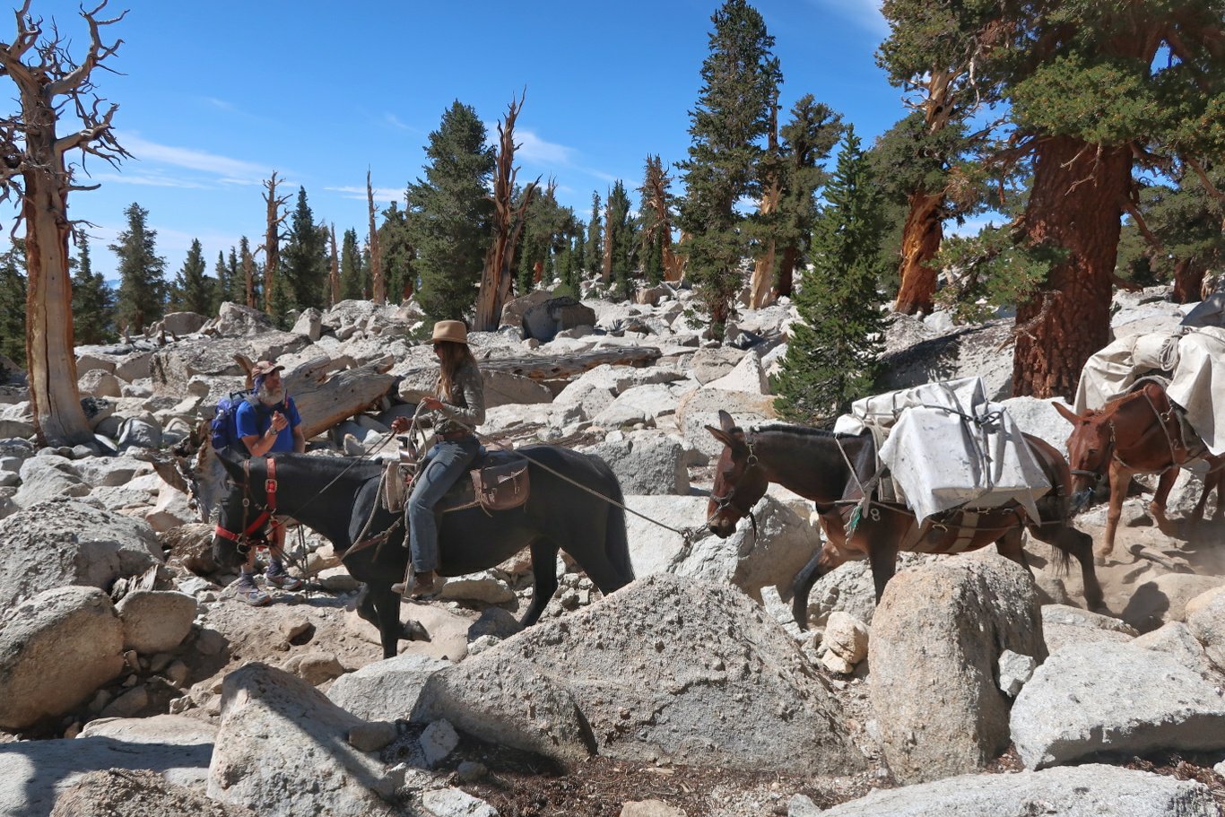
Down in the valley beyond the pass we went by a large group of hikers wearing day packs. Behind them came about 20 mules packed with provisions including steak, chicken and ribs, etc. Apparently you can hike the Sierras in style if you have enough money.
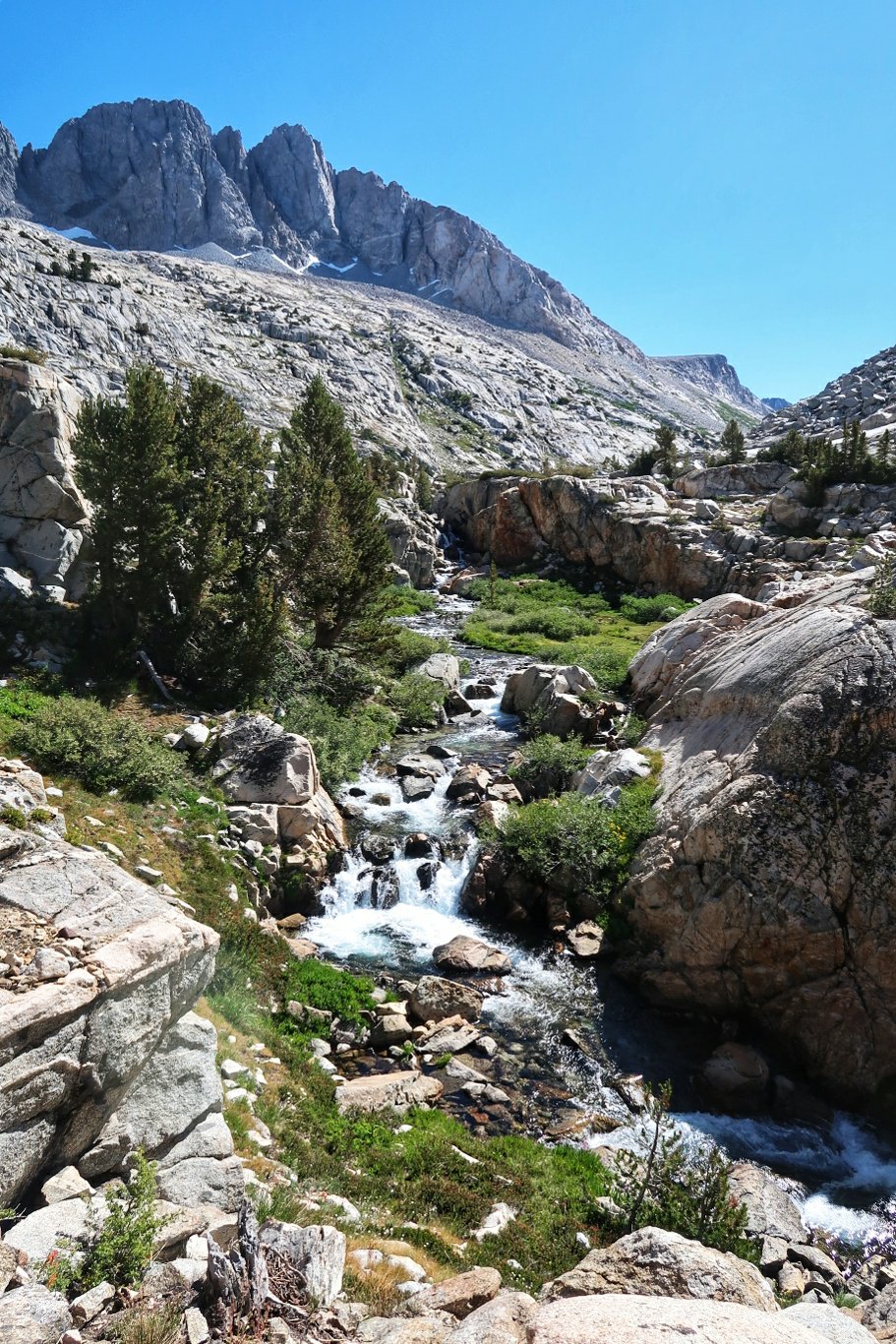
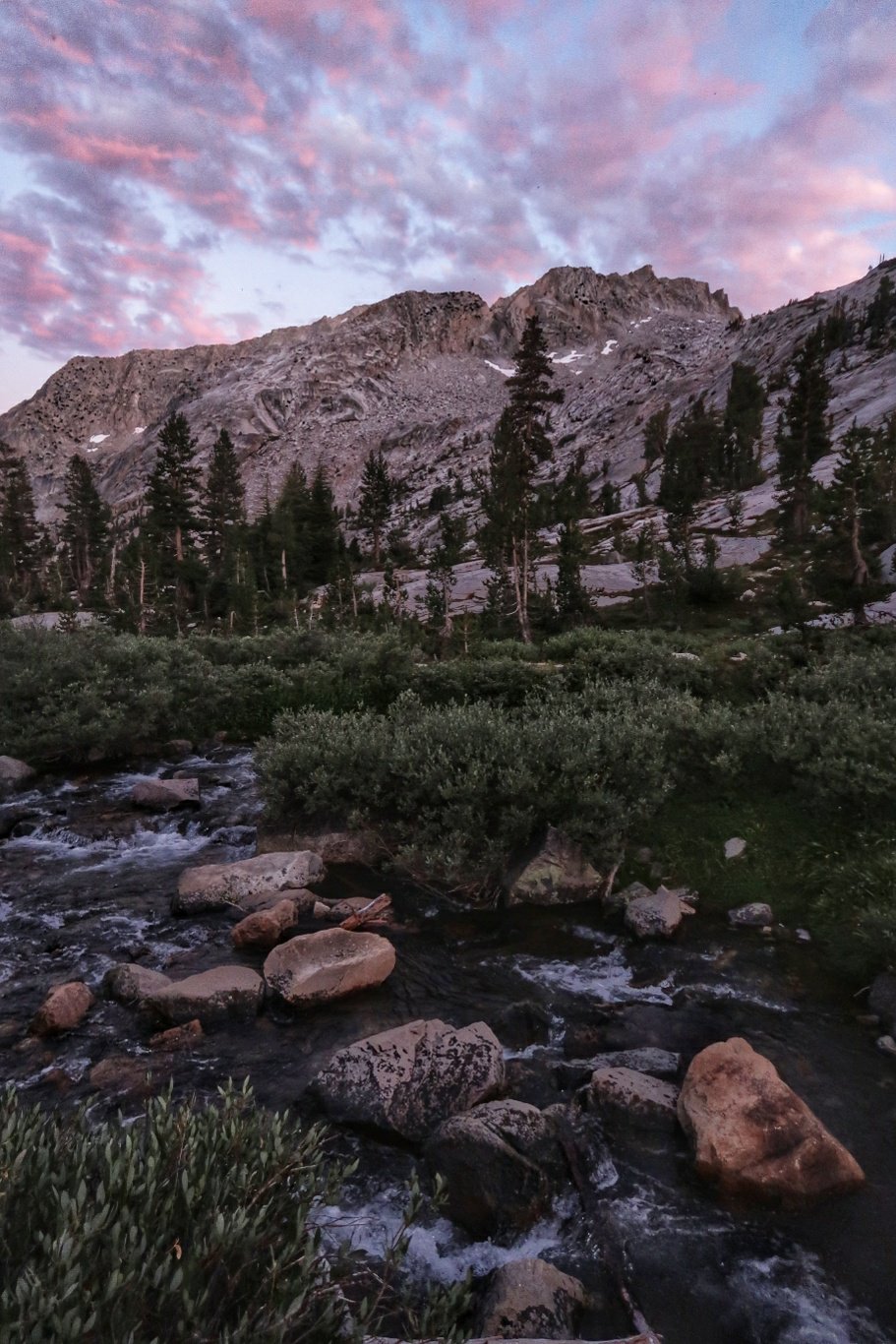
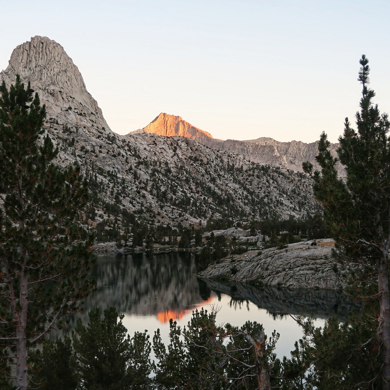
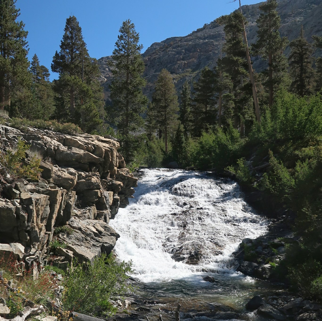
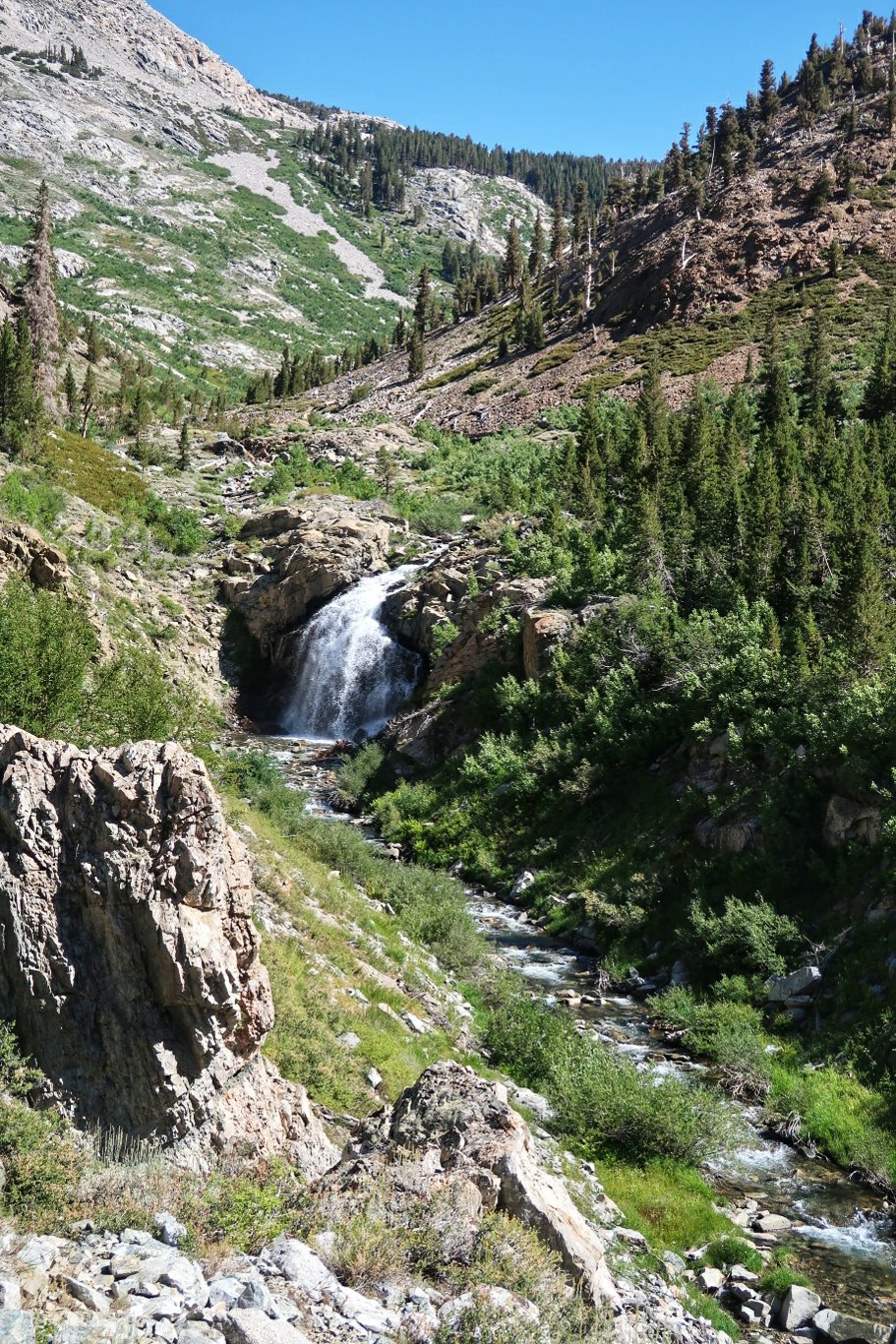
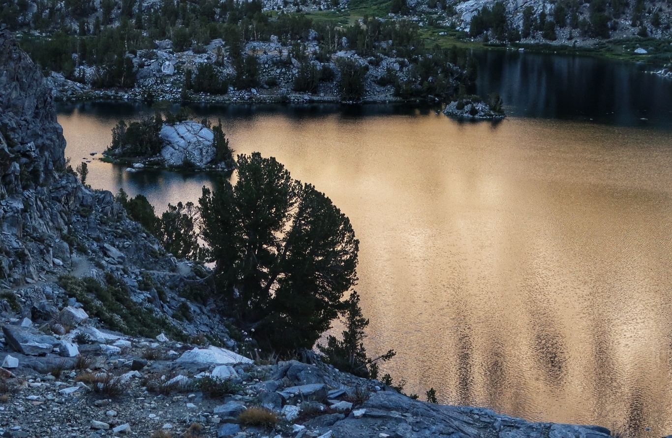
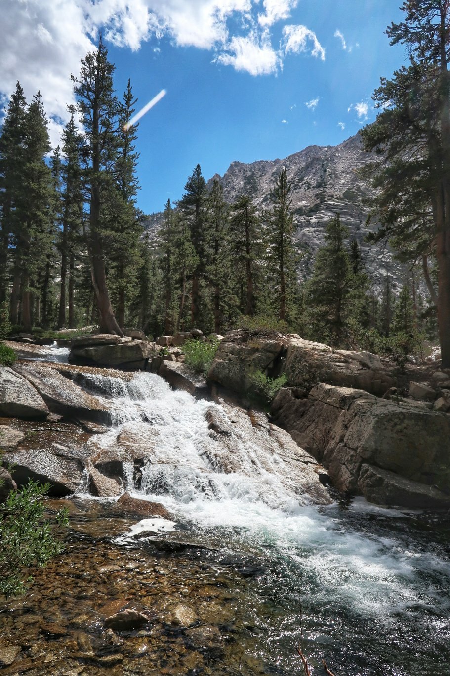
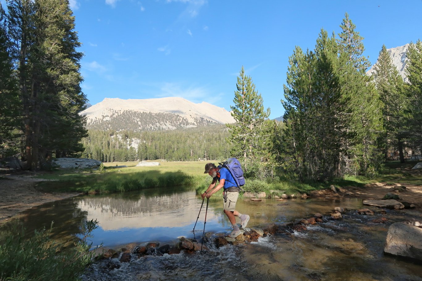
We are camped next to a river which we were hiking beside this afternoon and the waters are really roaring. It is a bit like being beside the beach.
 I (Ros) did not have a good hiking day – I found myself breathless with exertion at altitude and was frequently needing to stop and rest due to fatigue and dizziness.
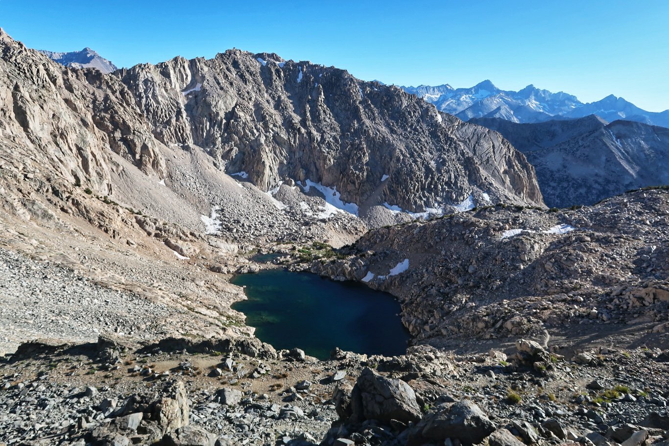
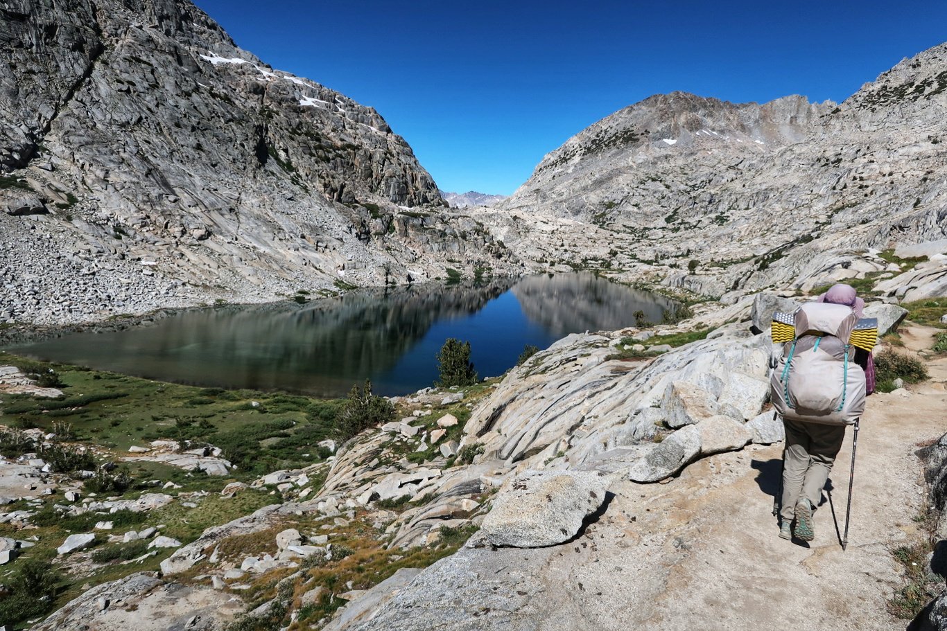
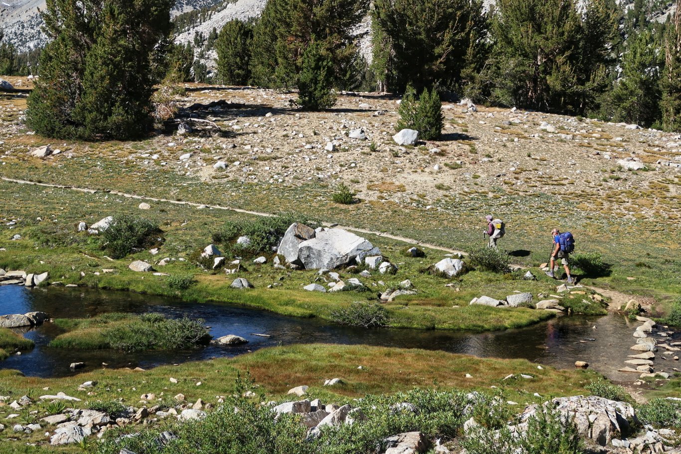
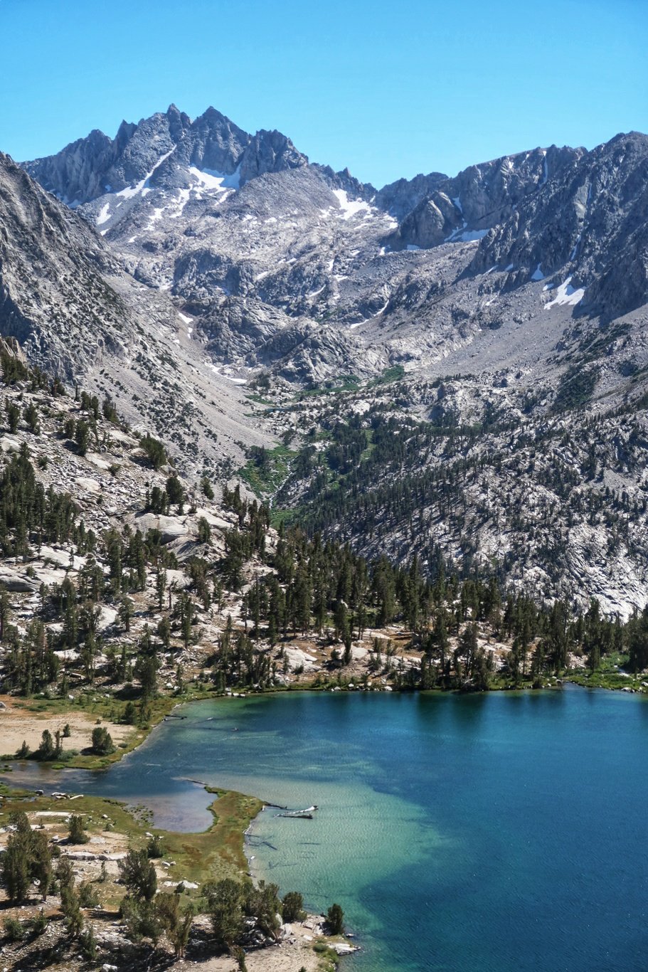
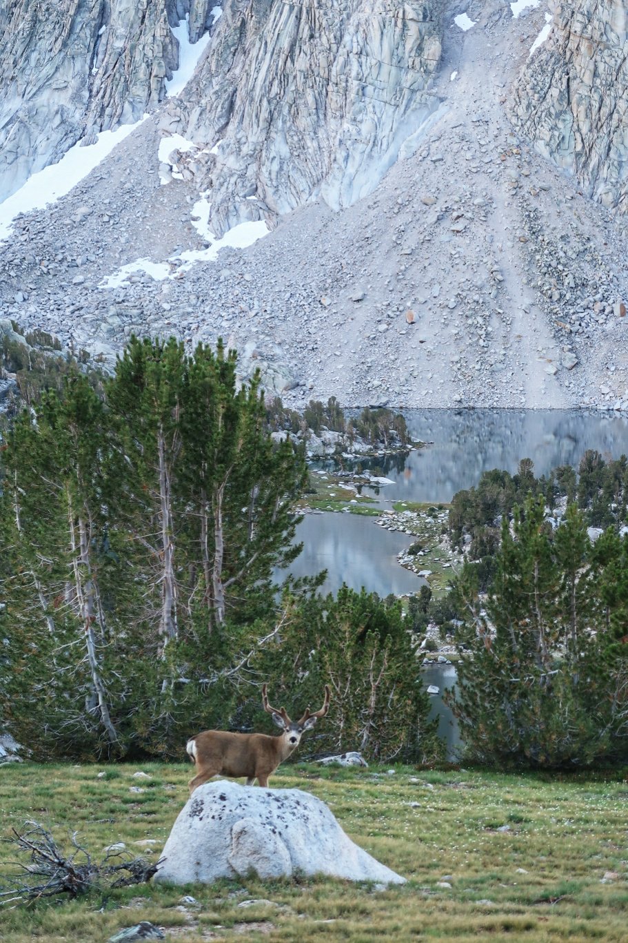
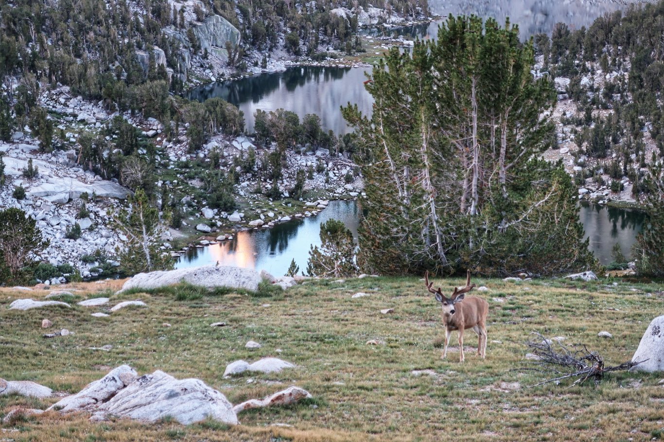
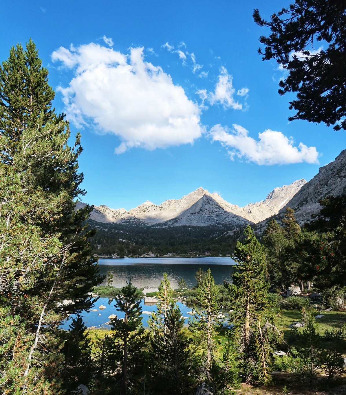
 Anyway, we walked through beautiful meadows, up 2 mountain passes (Kearsage and Glen 11,949′) and above and around some truly spectacular lakes with clear water and fish jumping. We arrived at the Rae Lakes campground at about 7 pm and ate our dinner by torchlight.
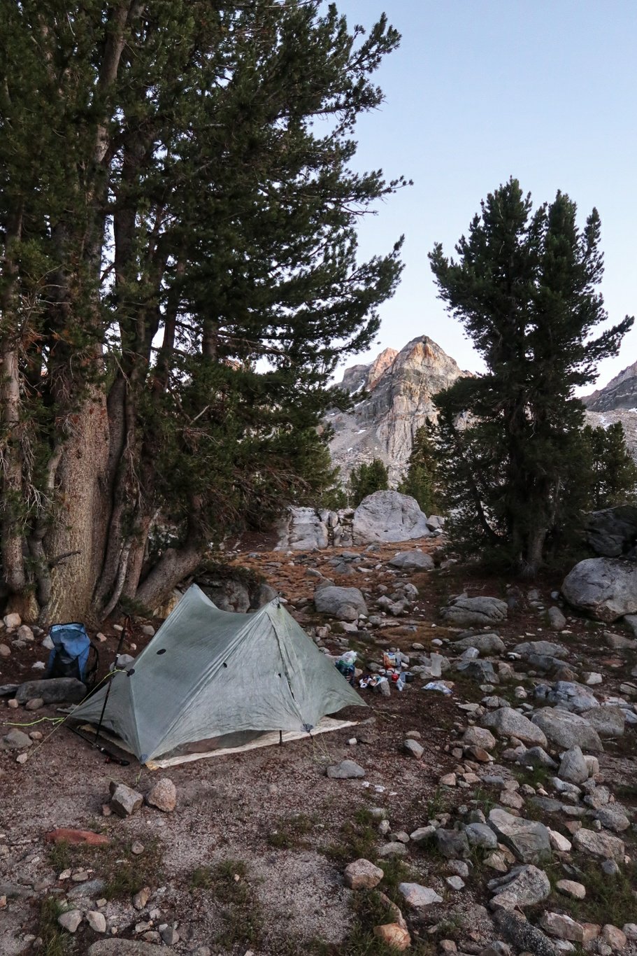 Hopefully we will all be refreshed after a good night’s sleep.
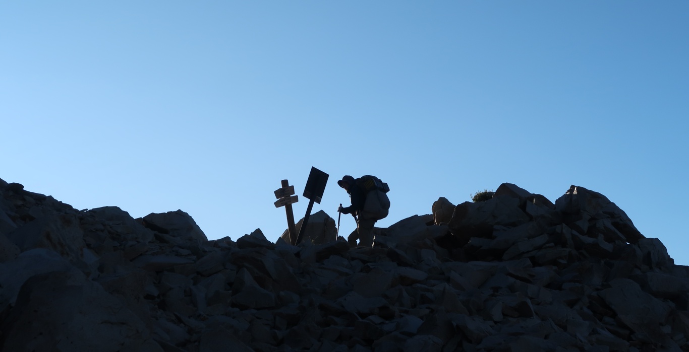
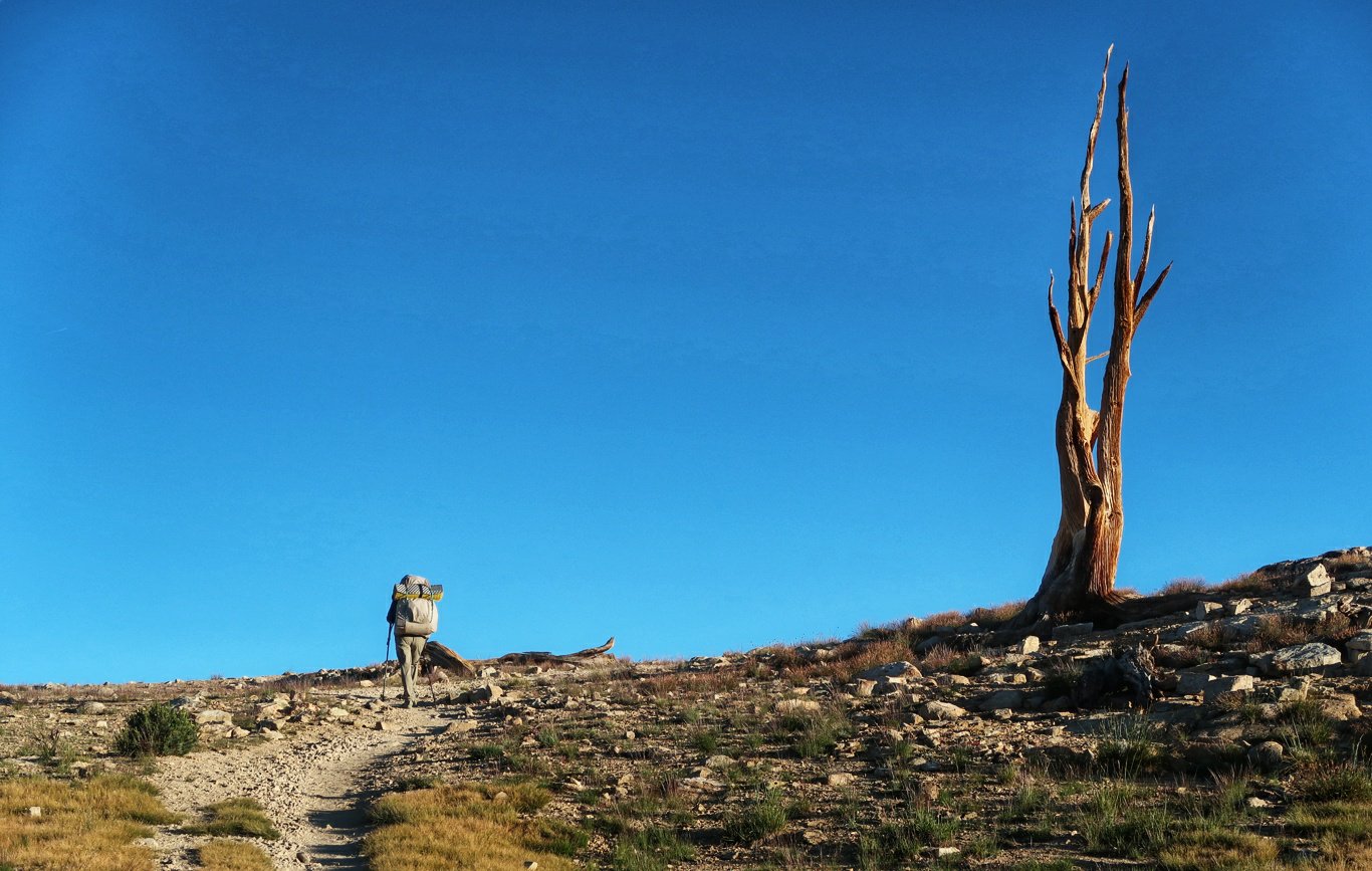
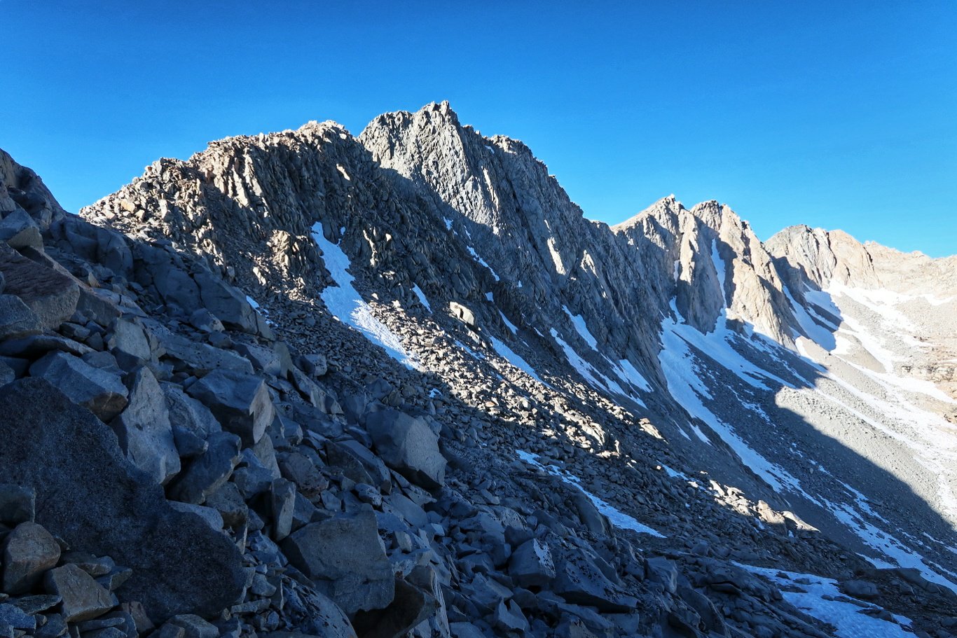
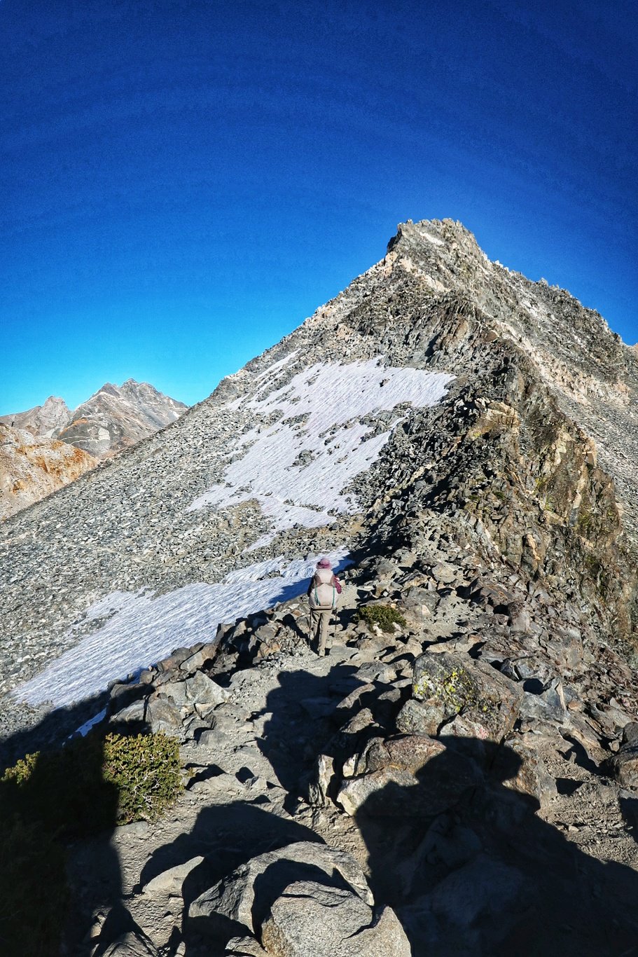
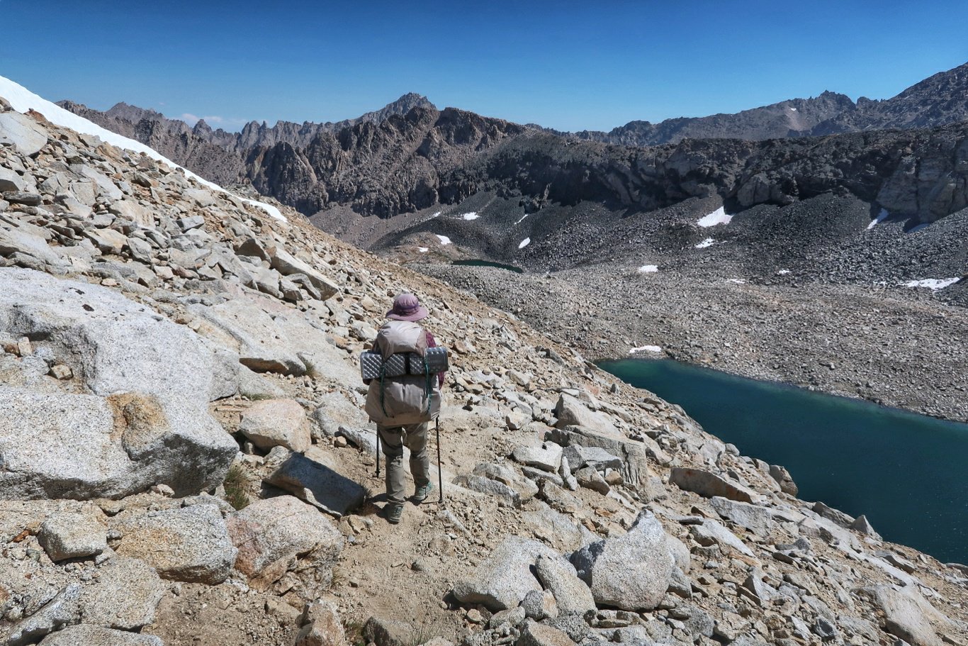
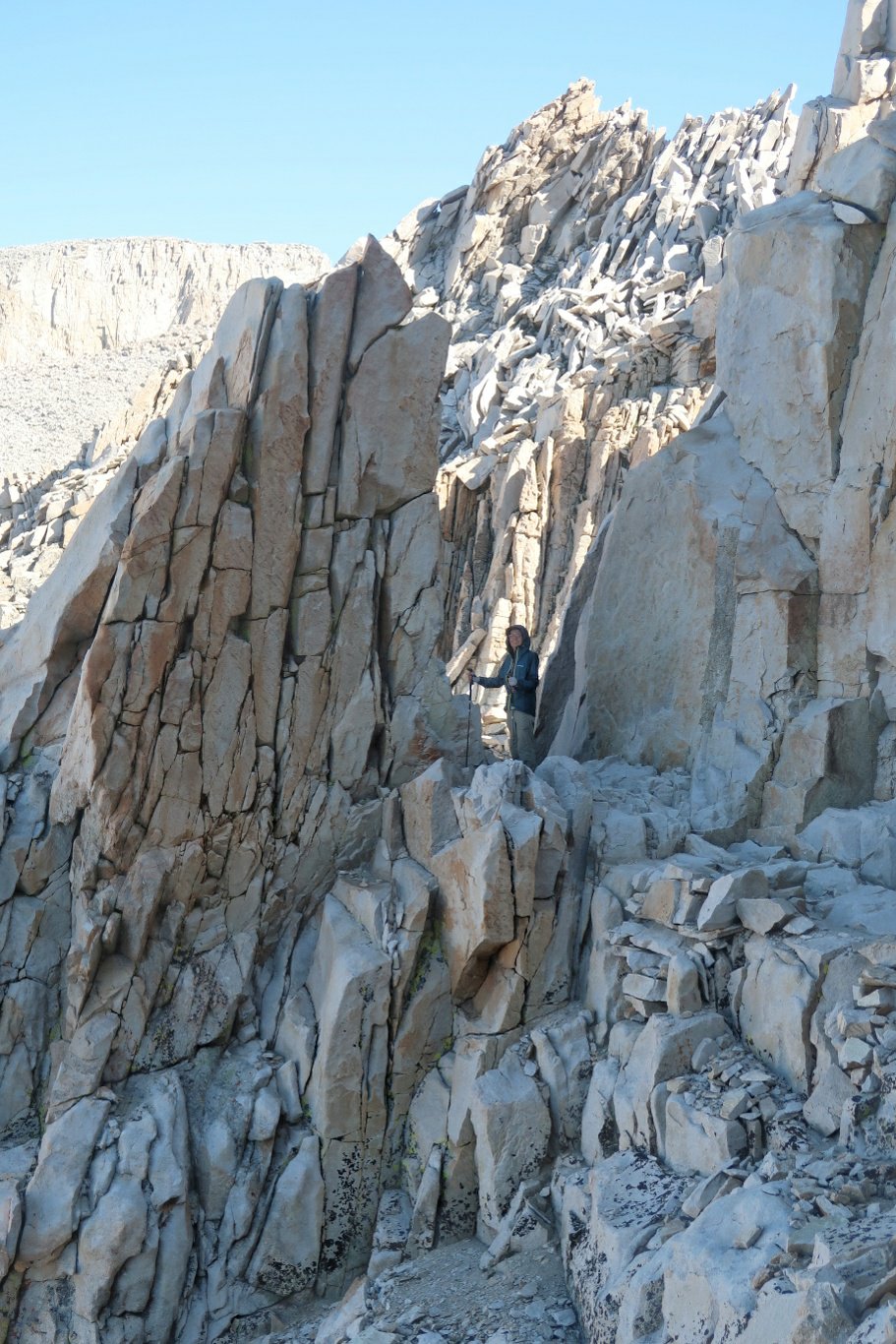
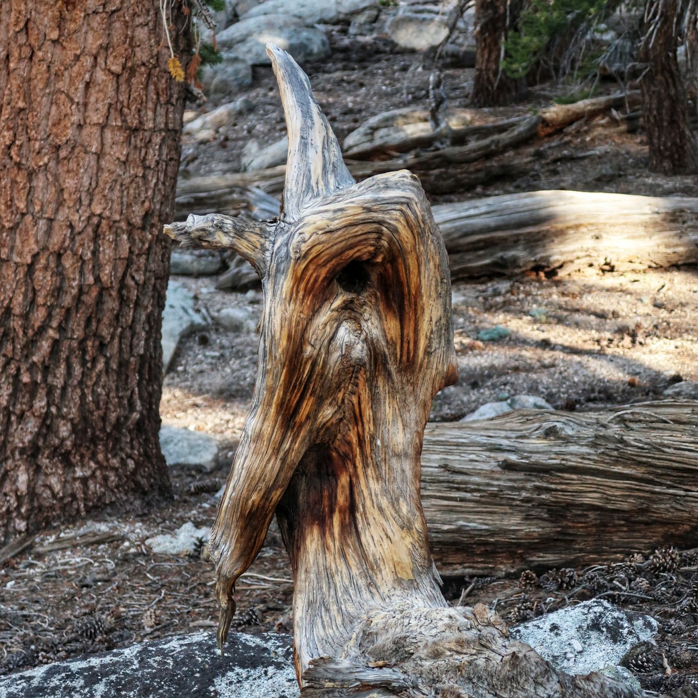
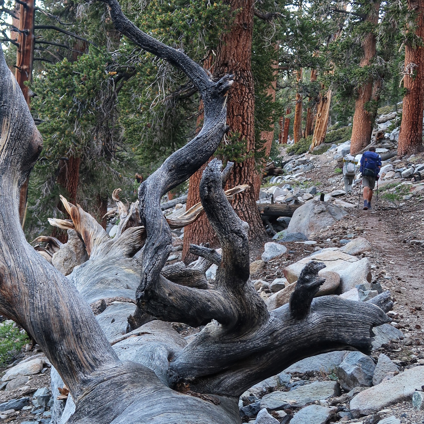
 An emu?
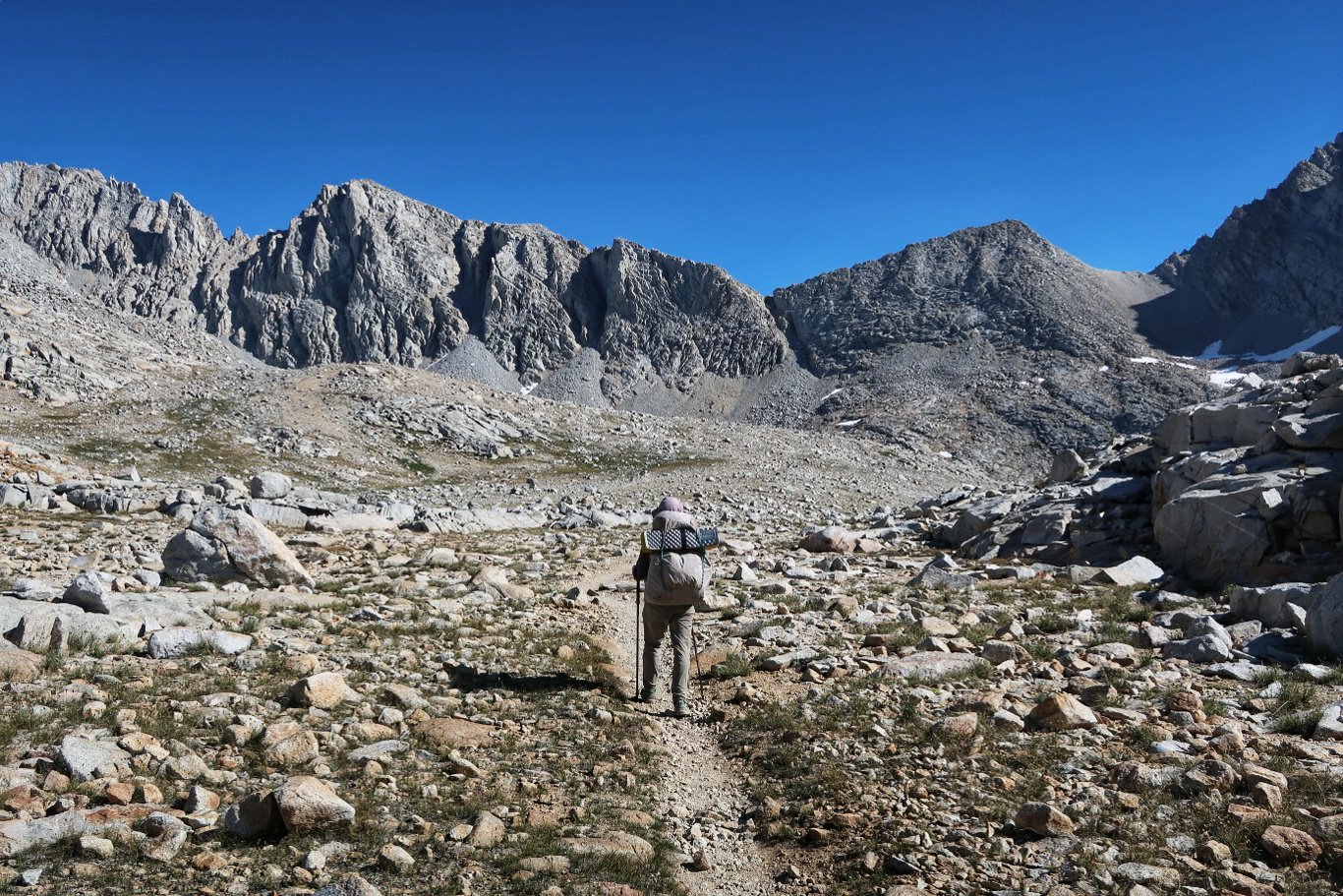 The pass is the notch just to the right of Ros
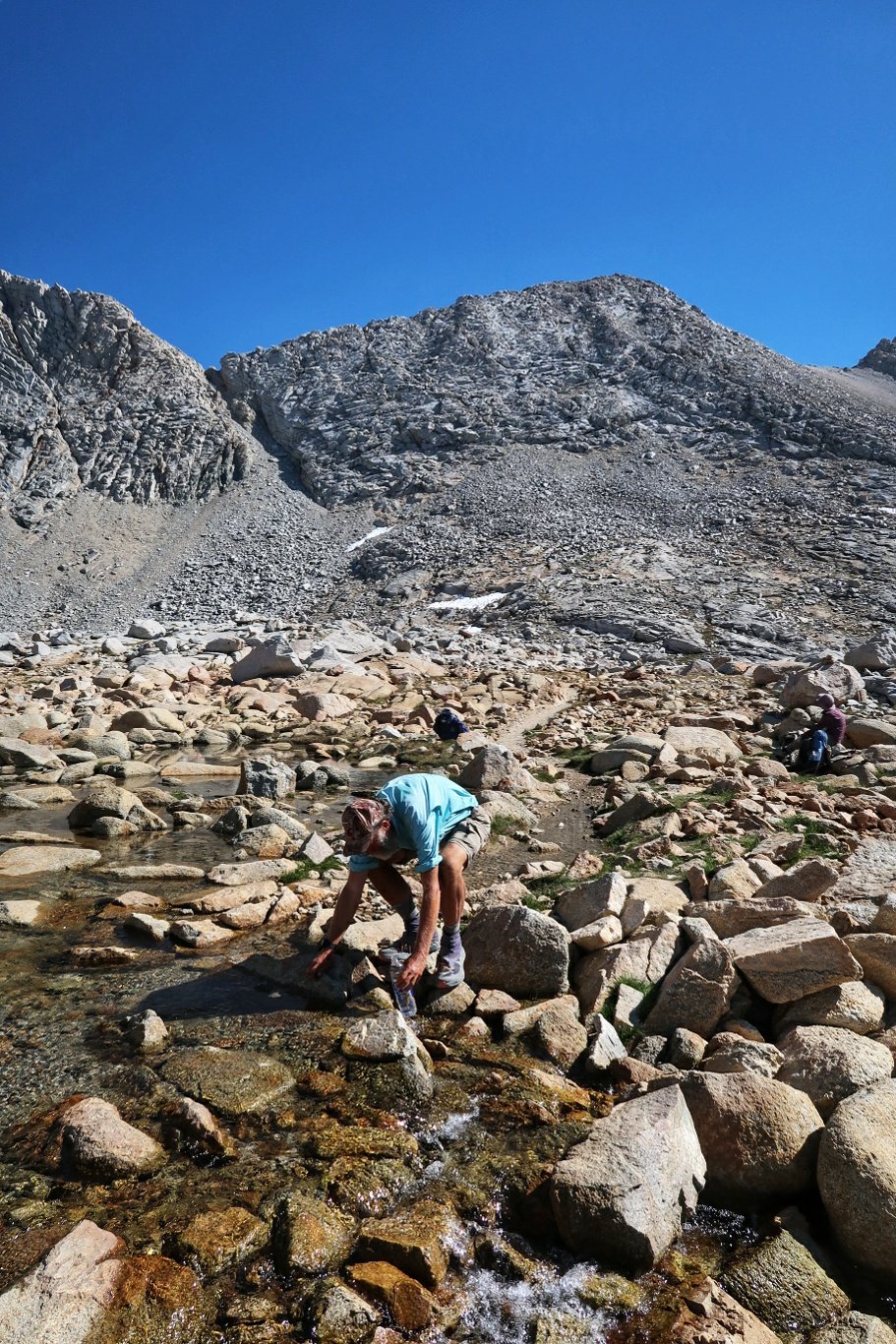
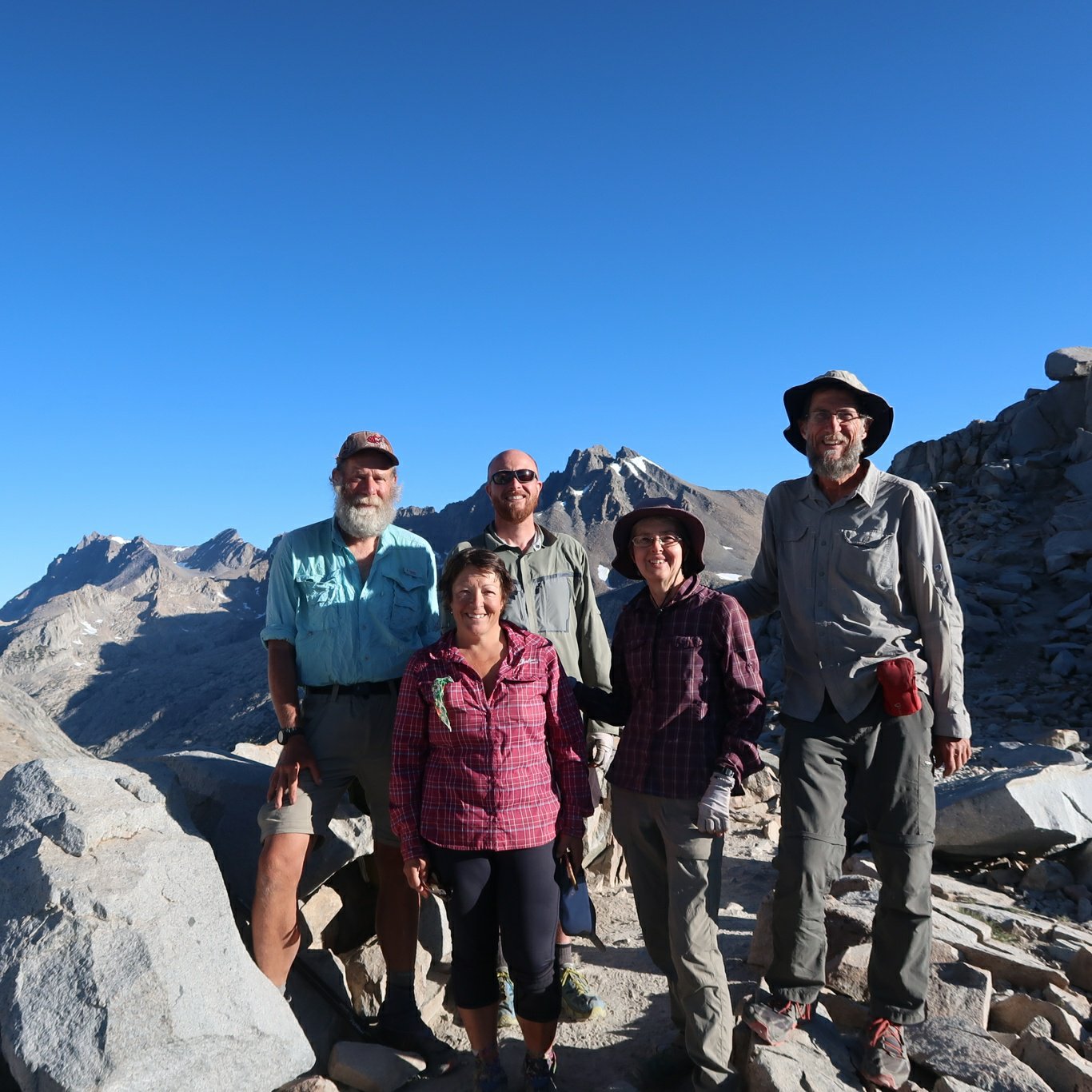
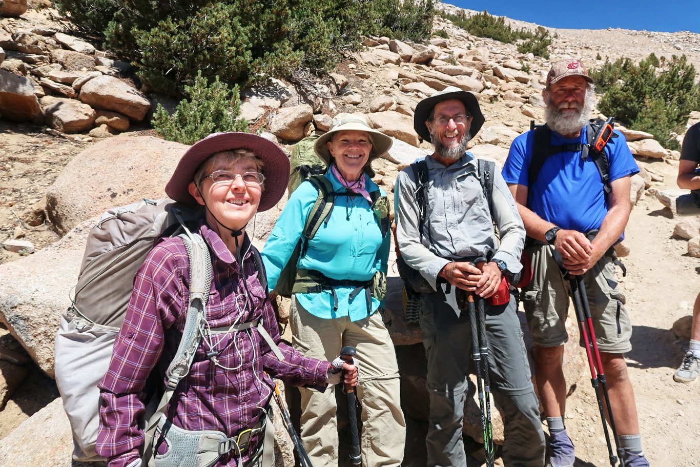
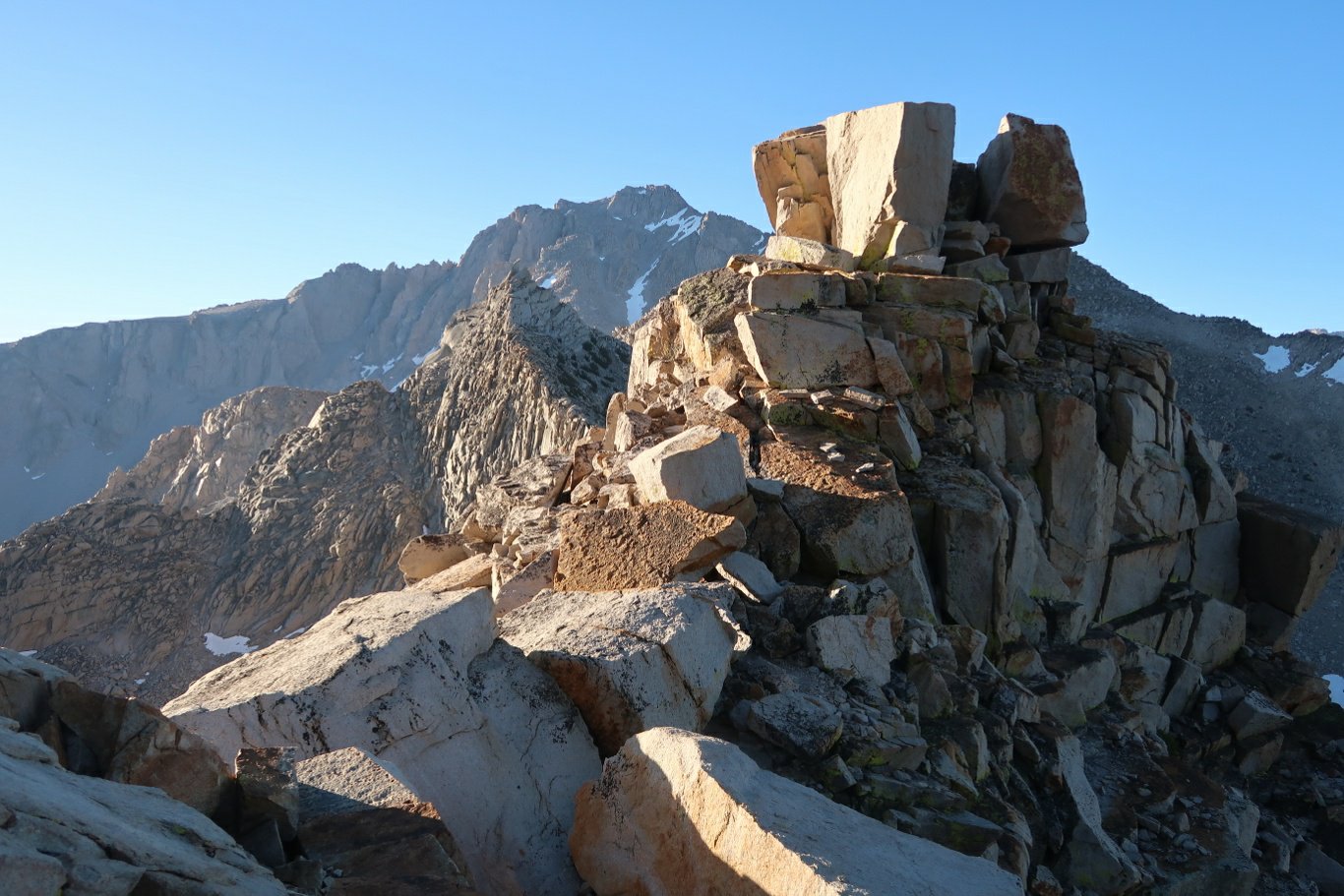
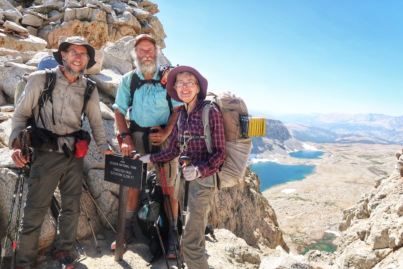
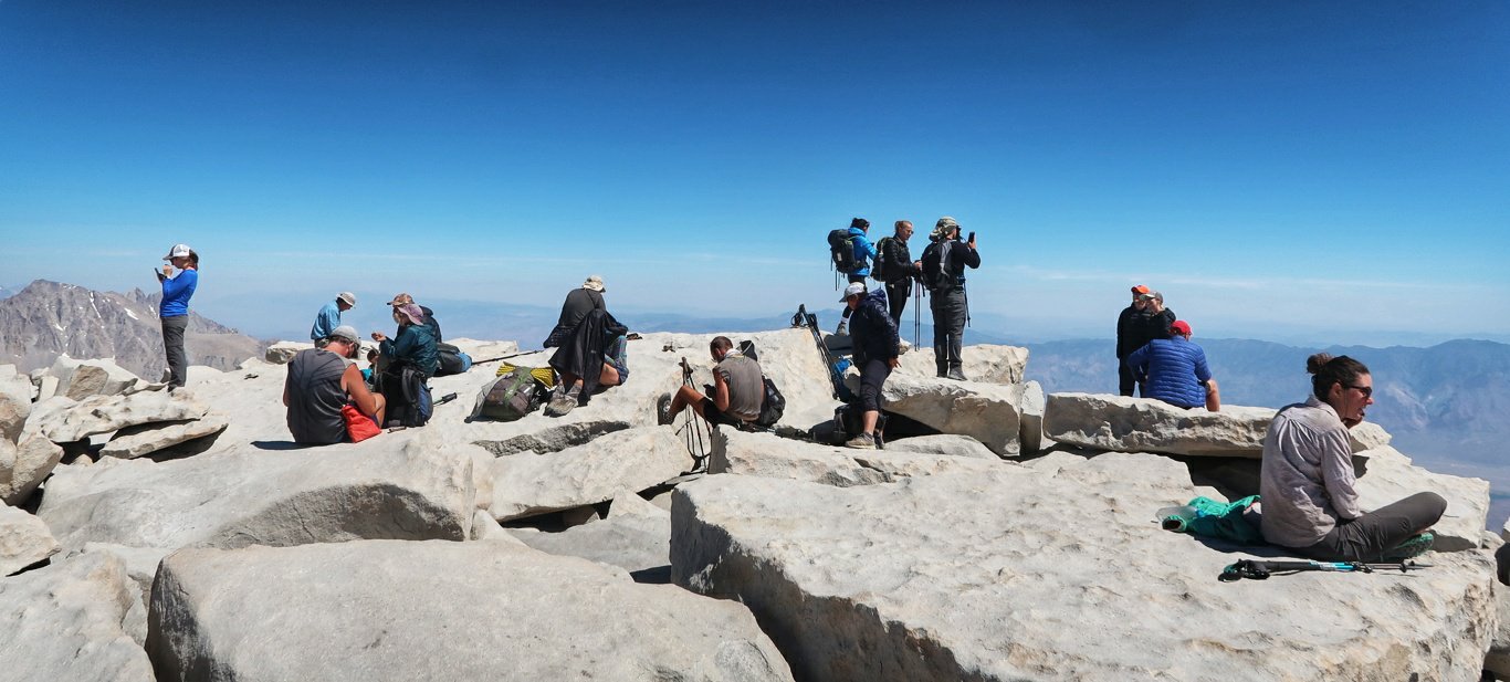
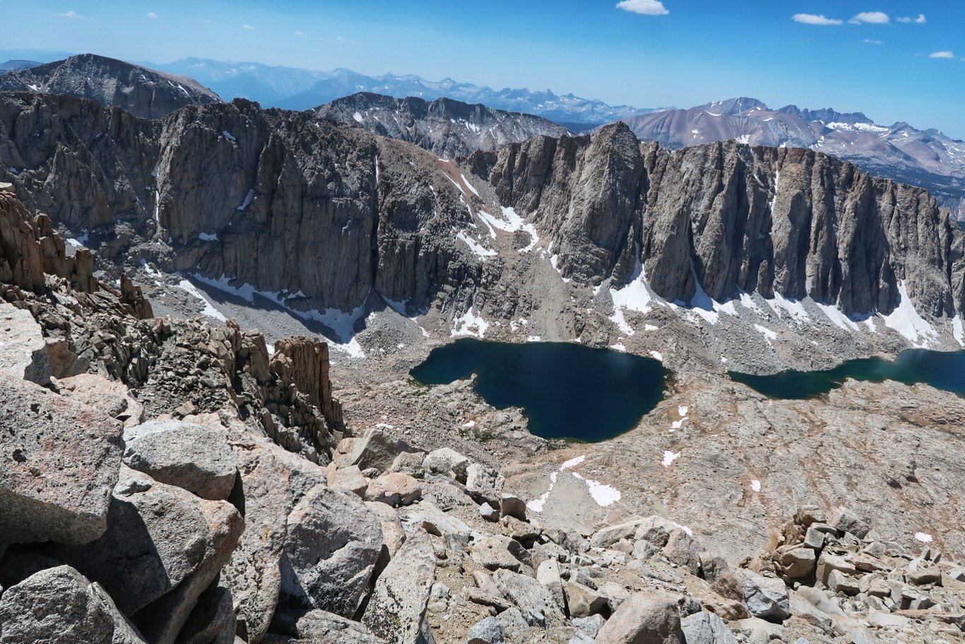
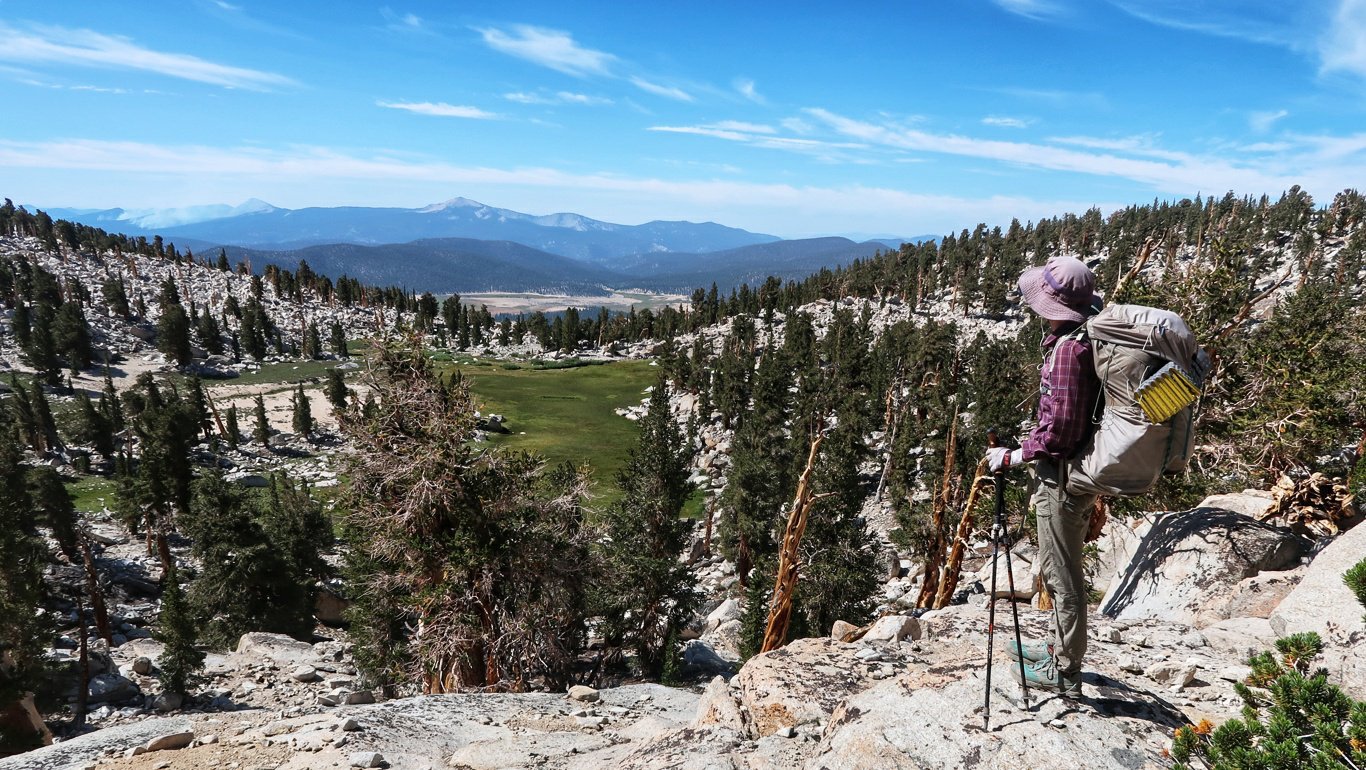
 We eventually reached the narrow saddle at 13,123′. There were quite a few others there including some Australians. Most were going southwards on the John Muir Trail.
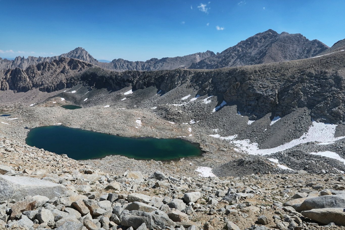
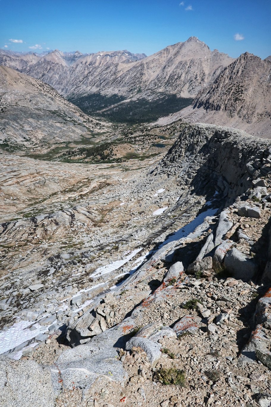
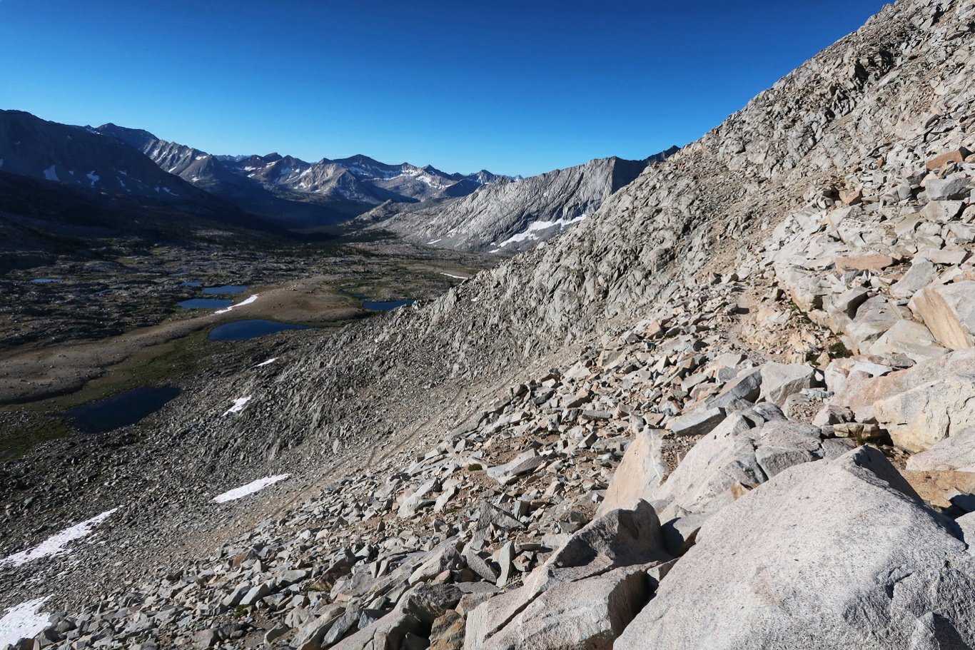
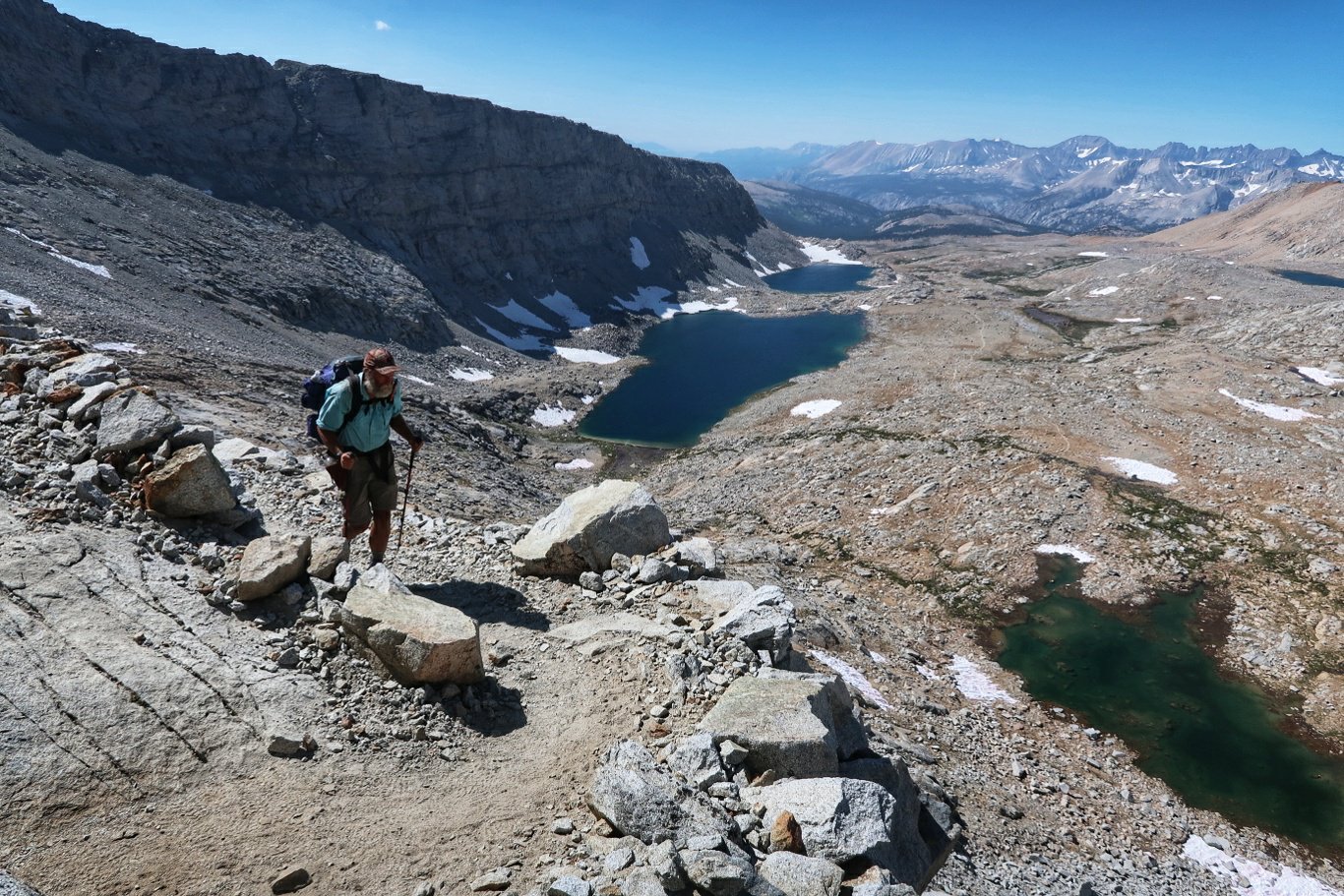
 Then a steep descent with more splendid views.
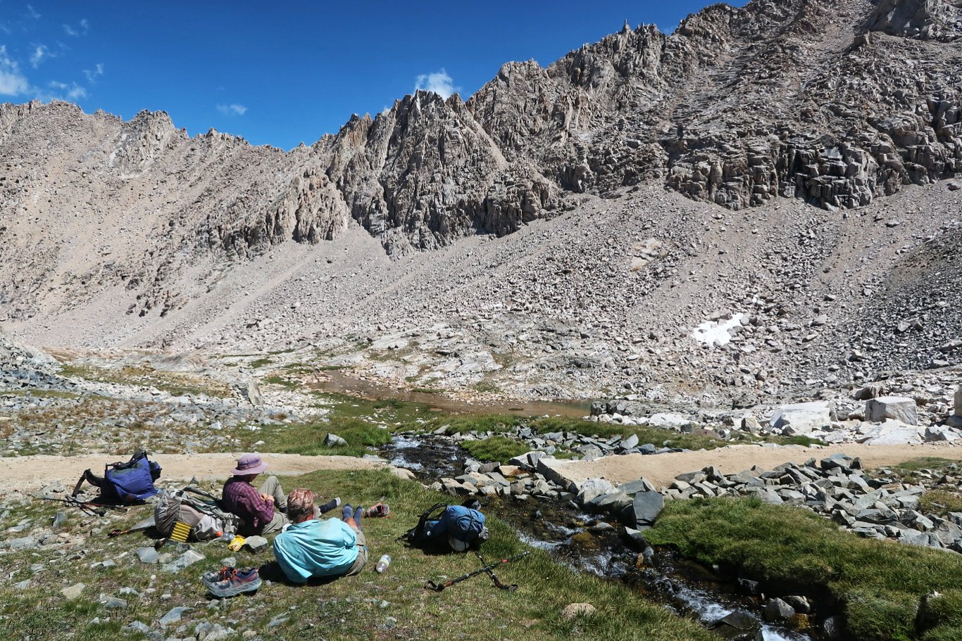 How’s this for a lunch stop?
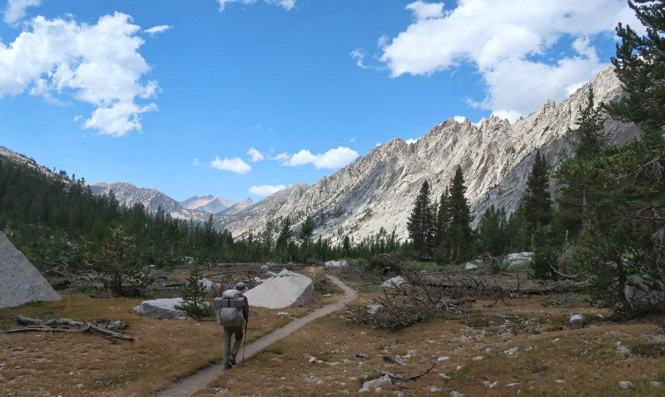
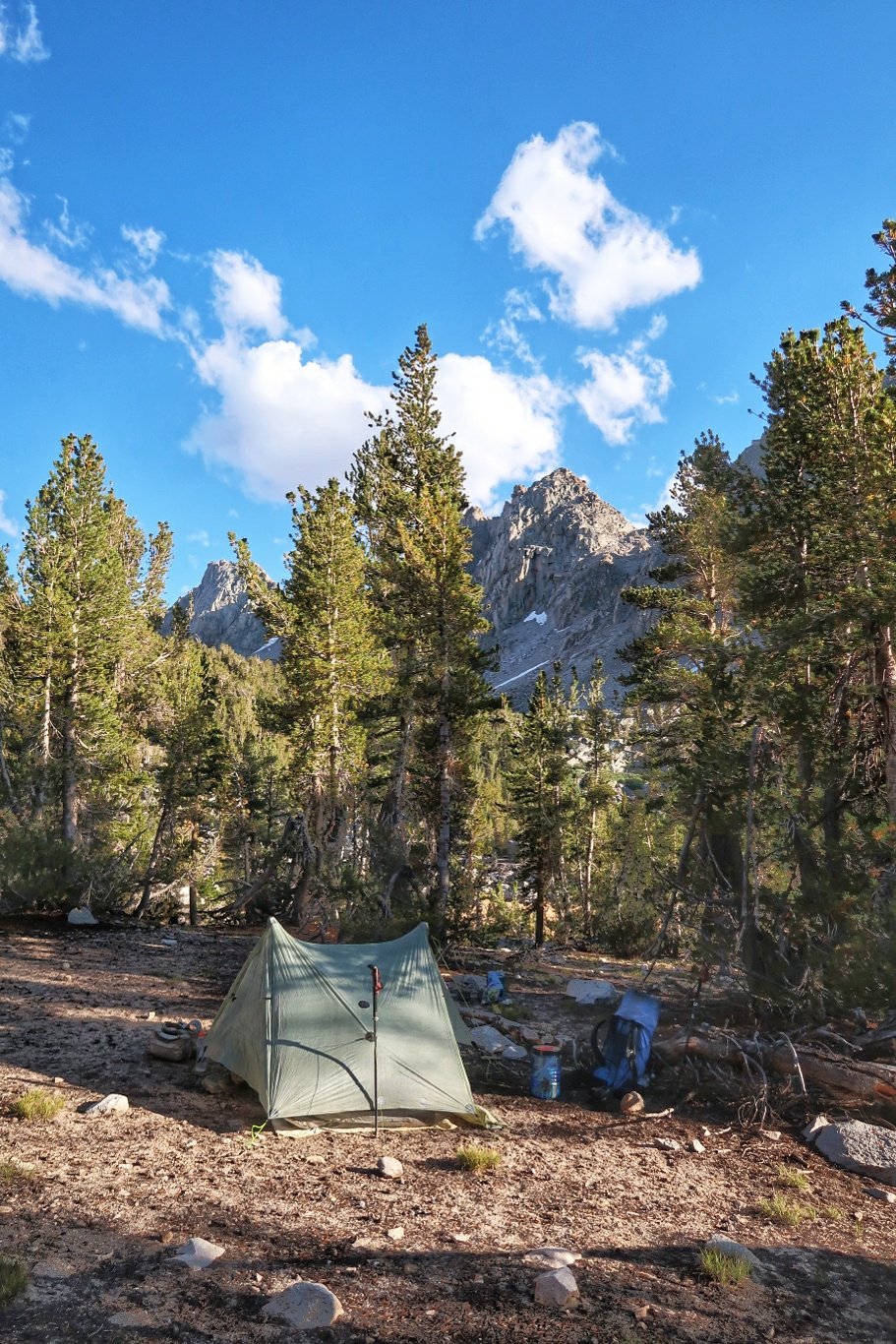
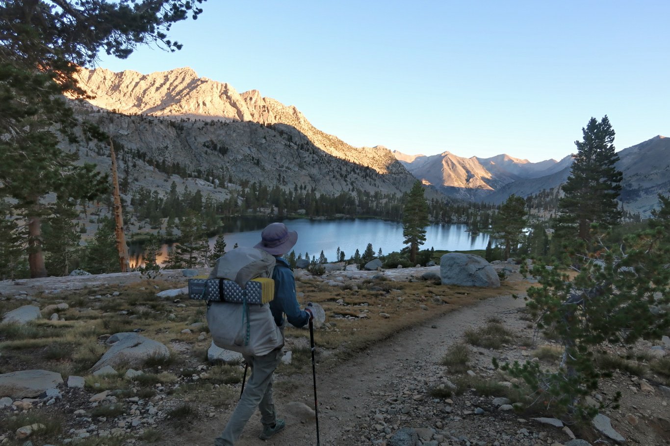
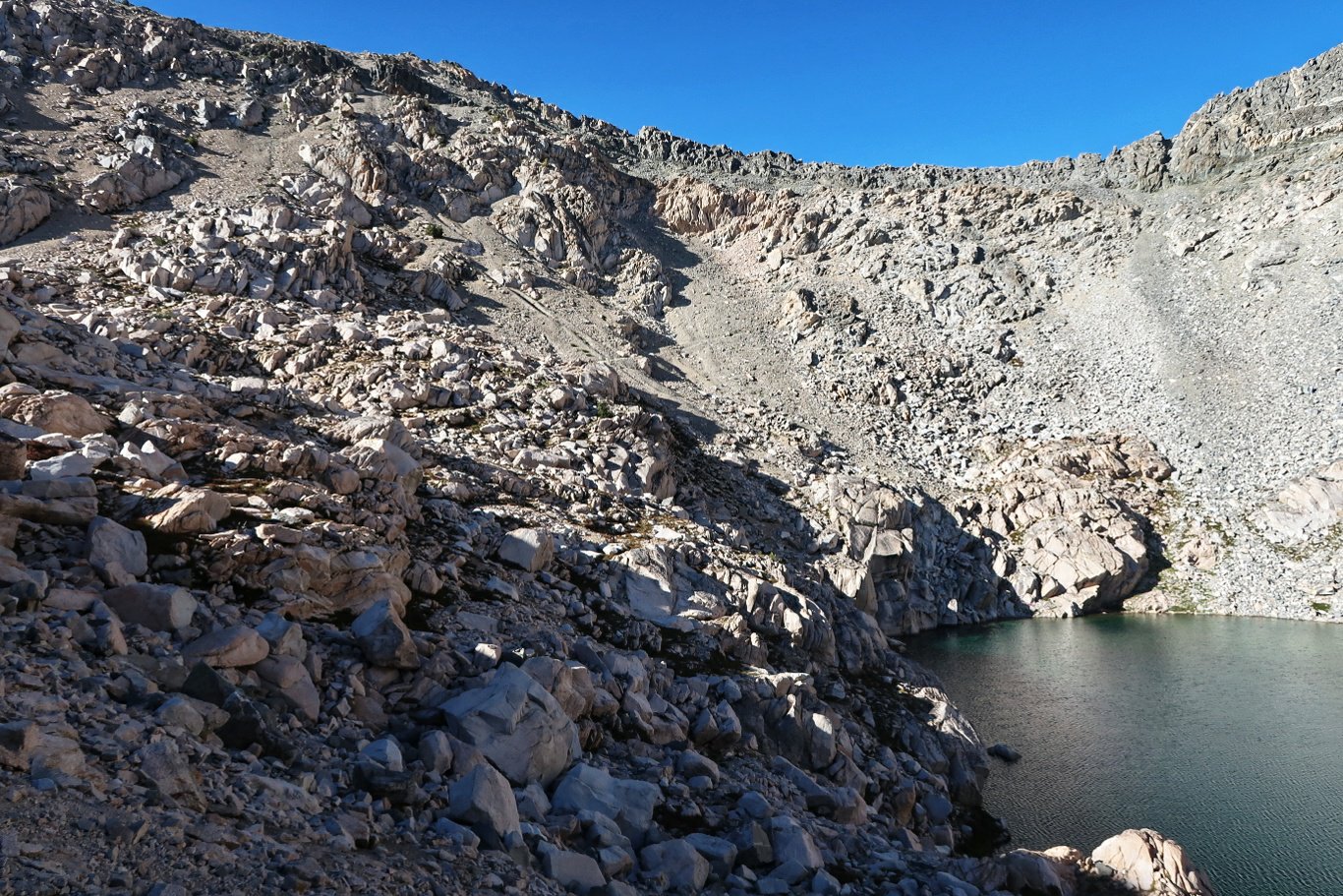
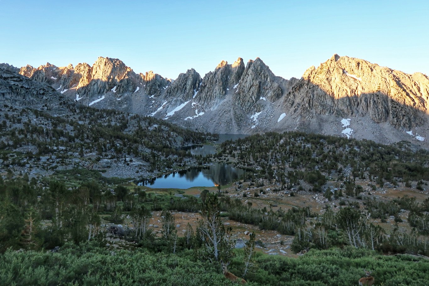
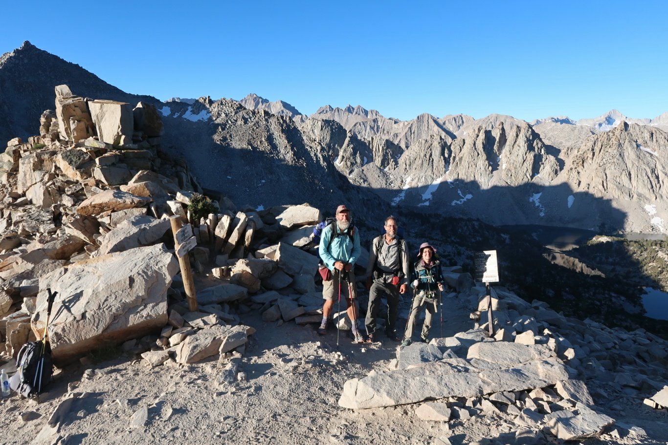
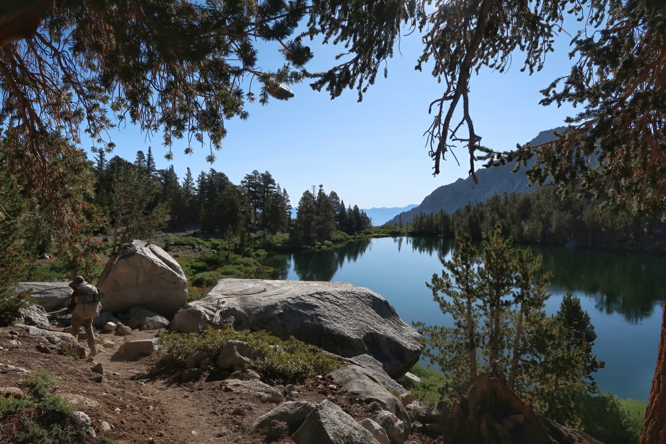
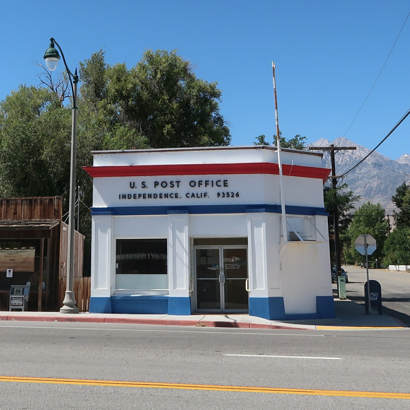
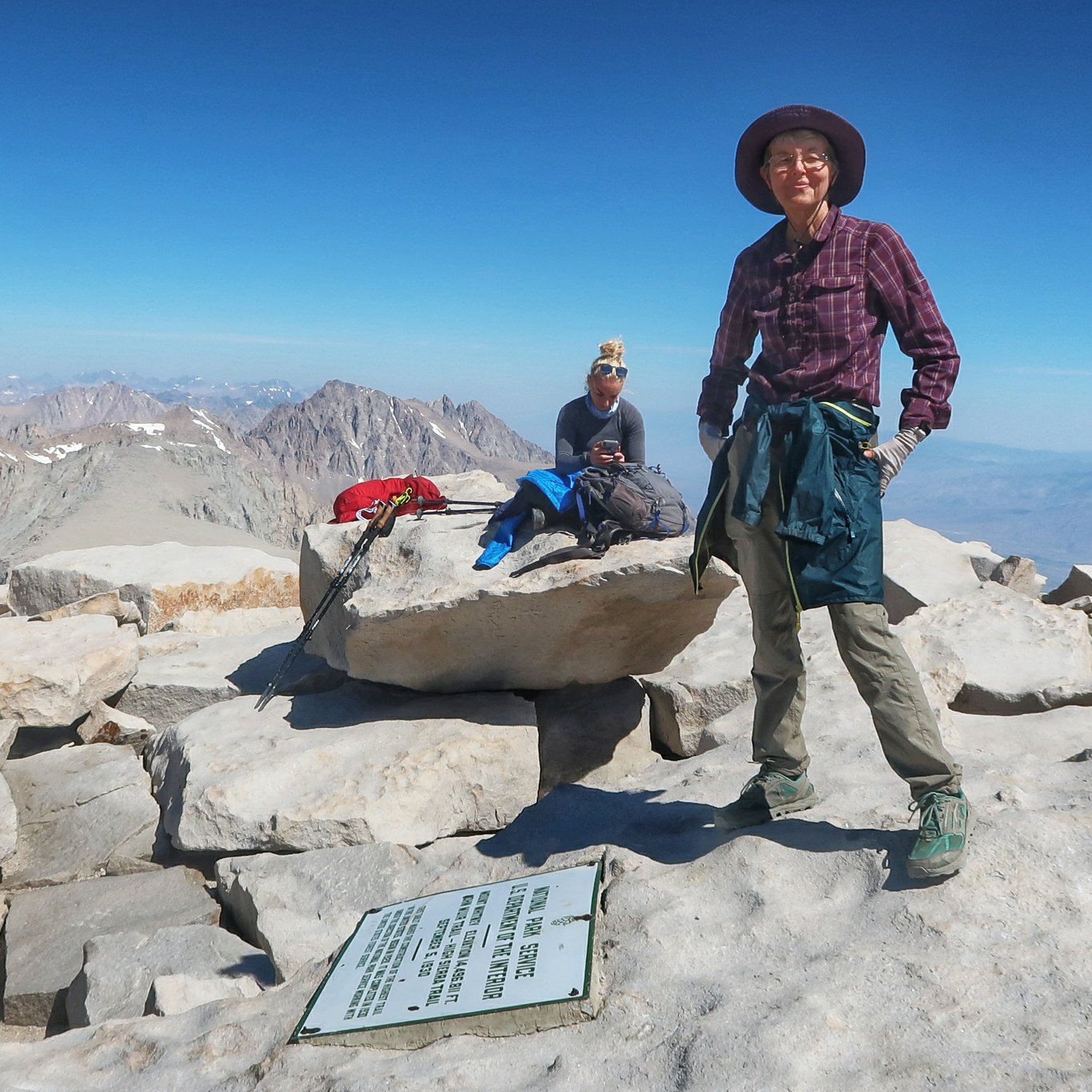
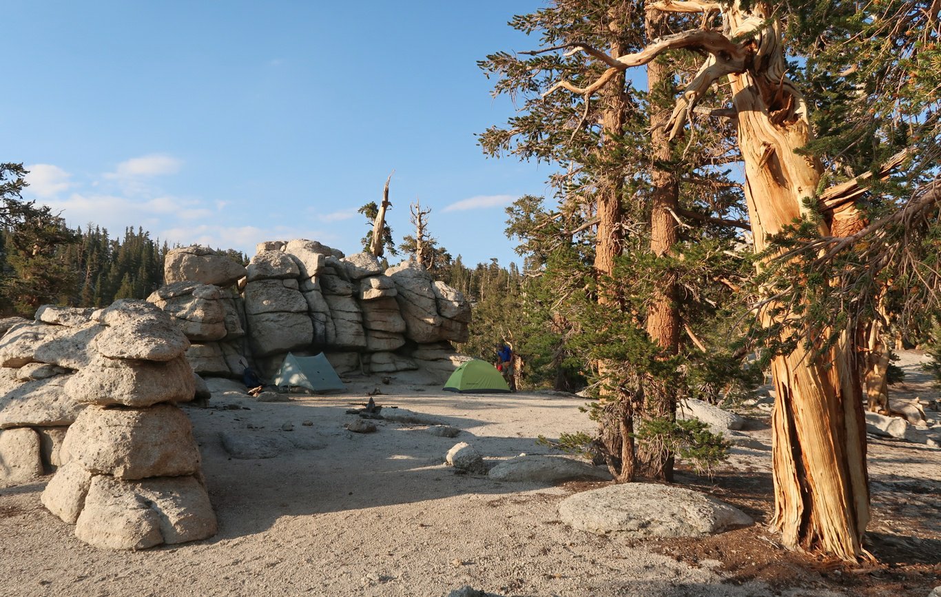
 We followed a pretty river down King’s Canyon then turned up a side trail past Bullfrog Lake. We have camped just beyond the lake. This side trail will take us tomorrow over Kearsage Pass and then down to the little town of Independence for a rest and resupply.Today’s milestones: the highest point on the PCT, and less than 600 miles to go.
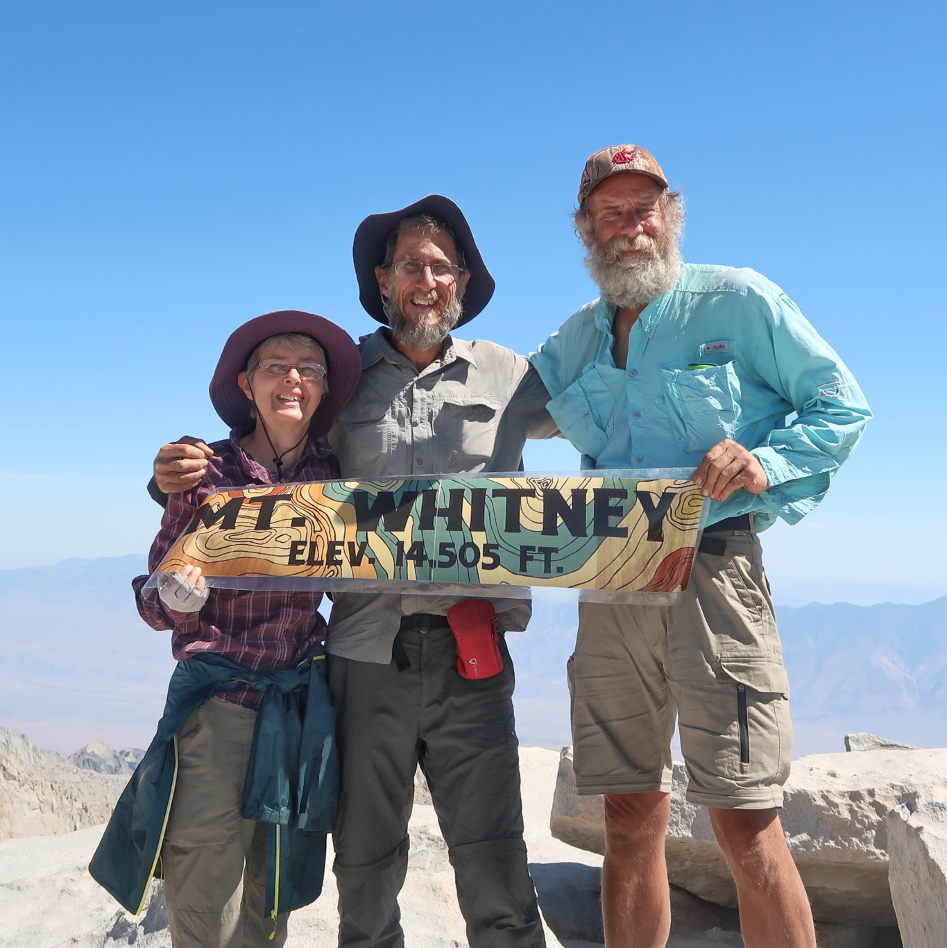

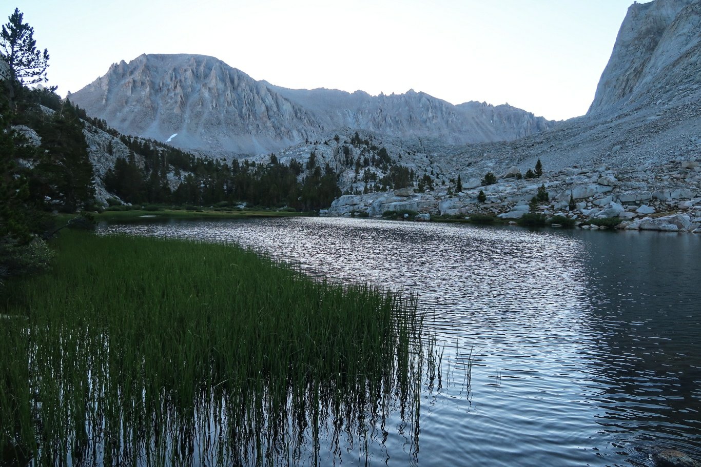
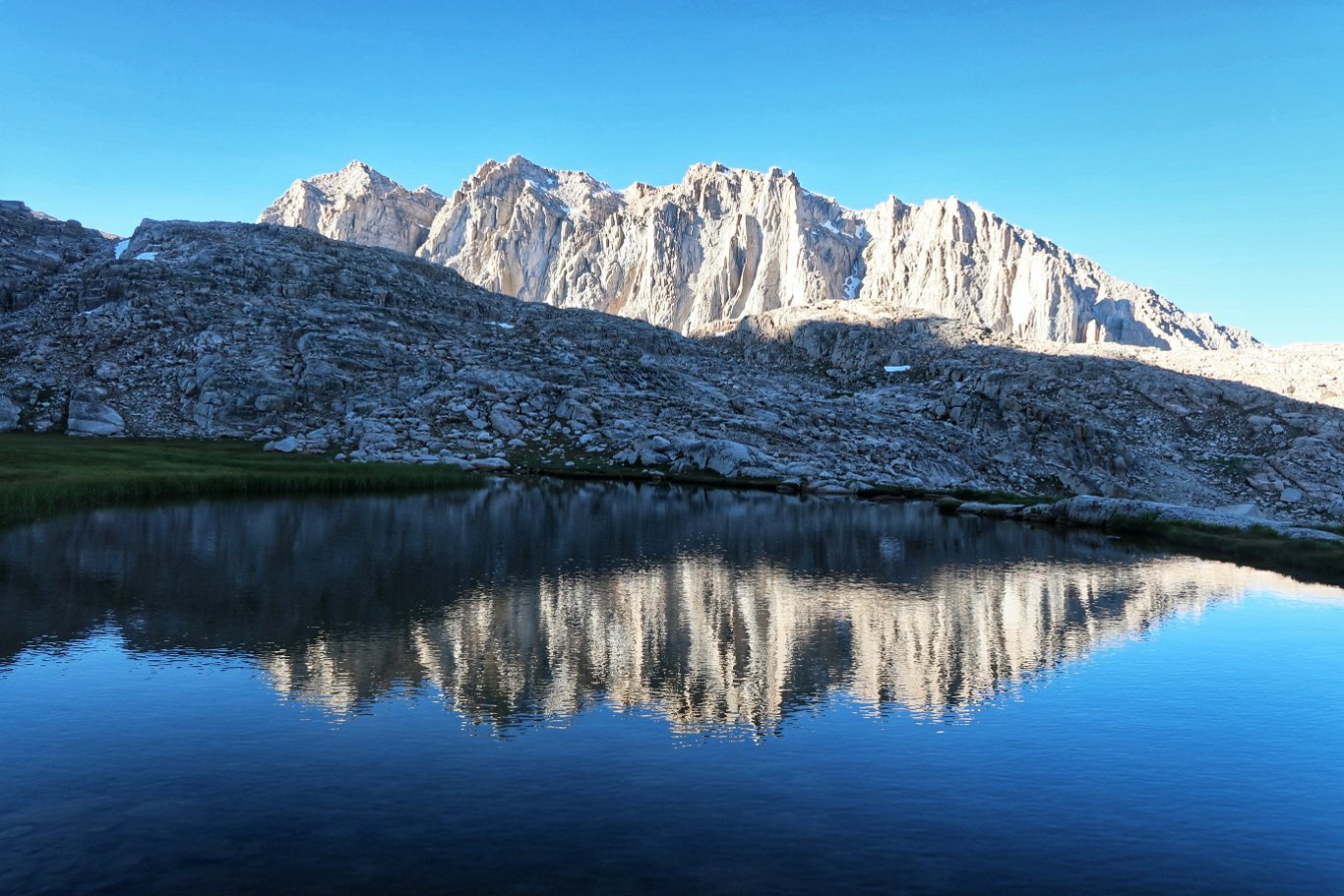
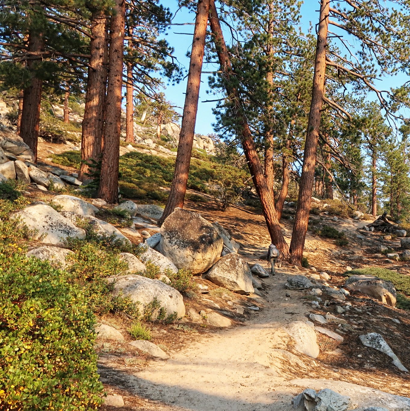
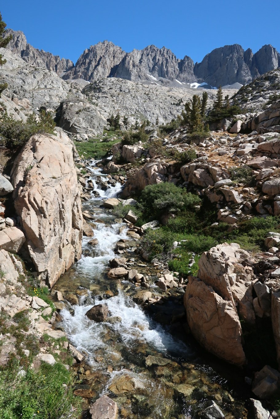
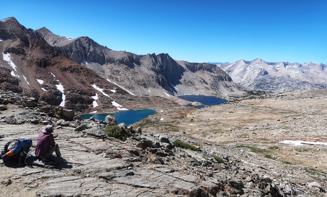
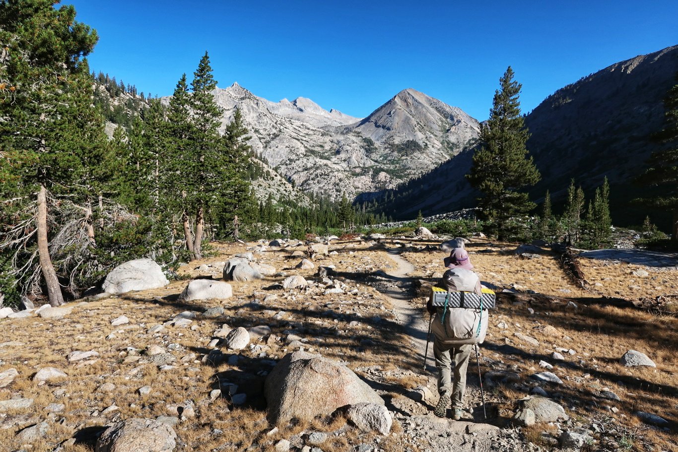
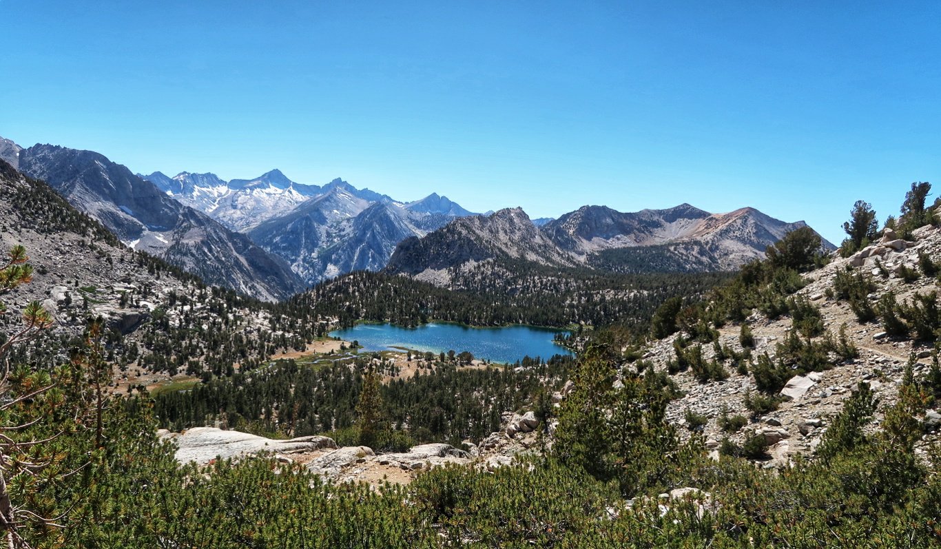
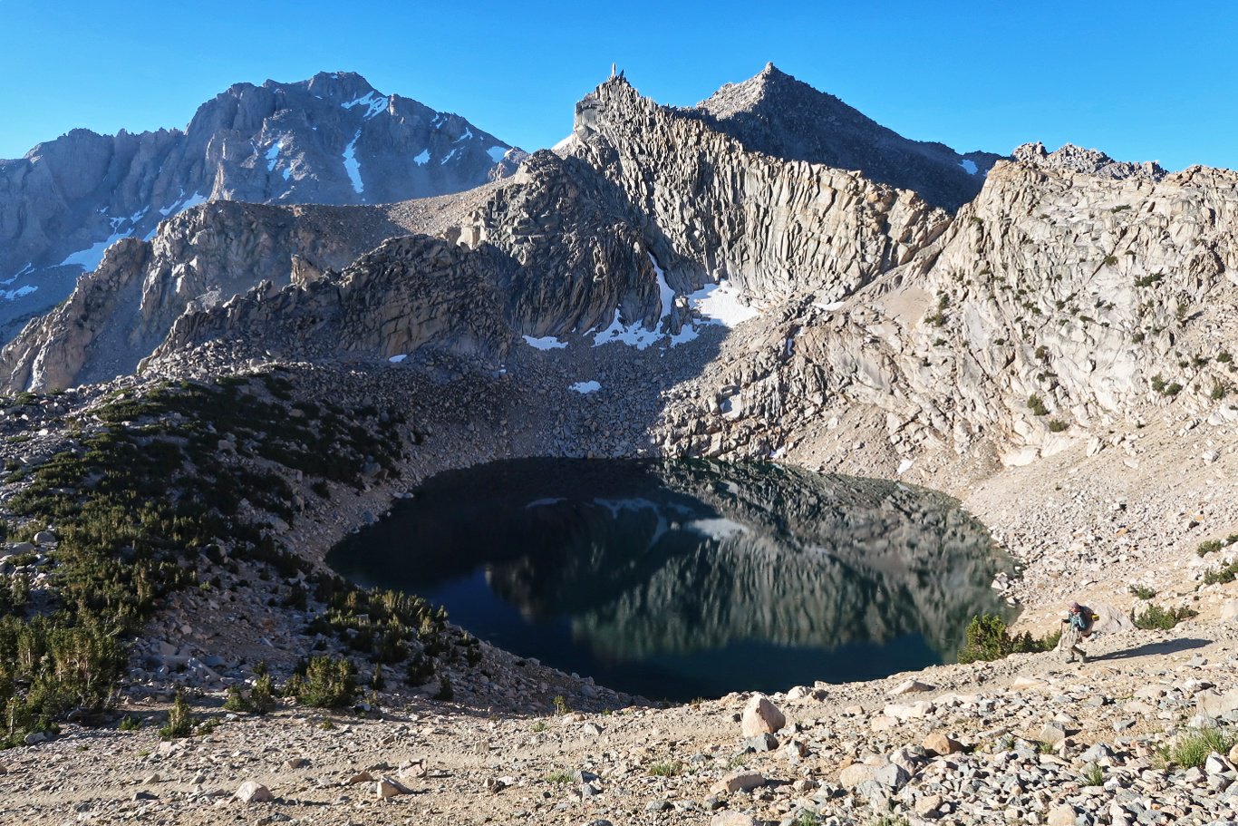
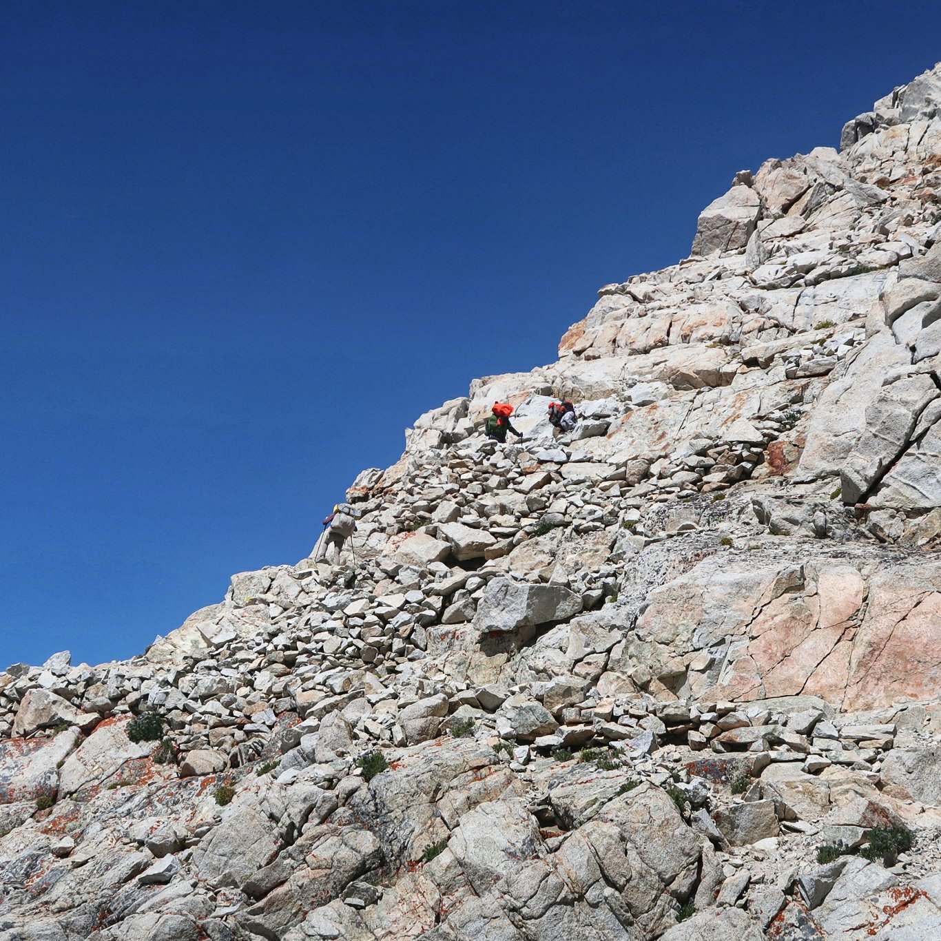
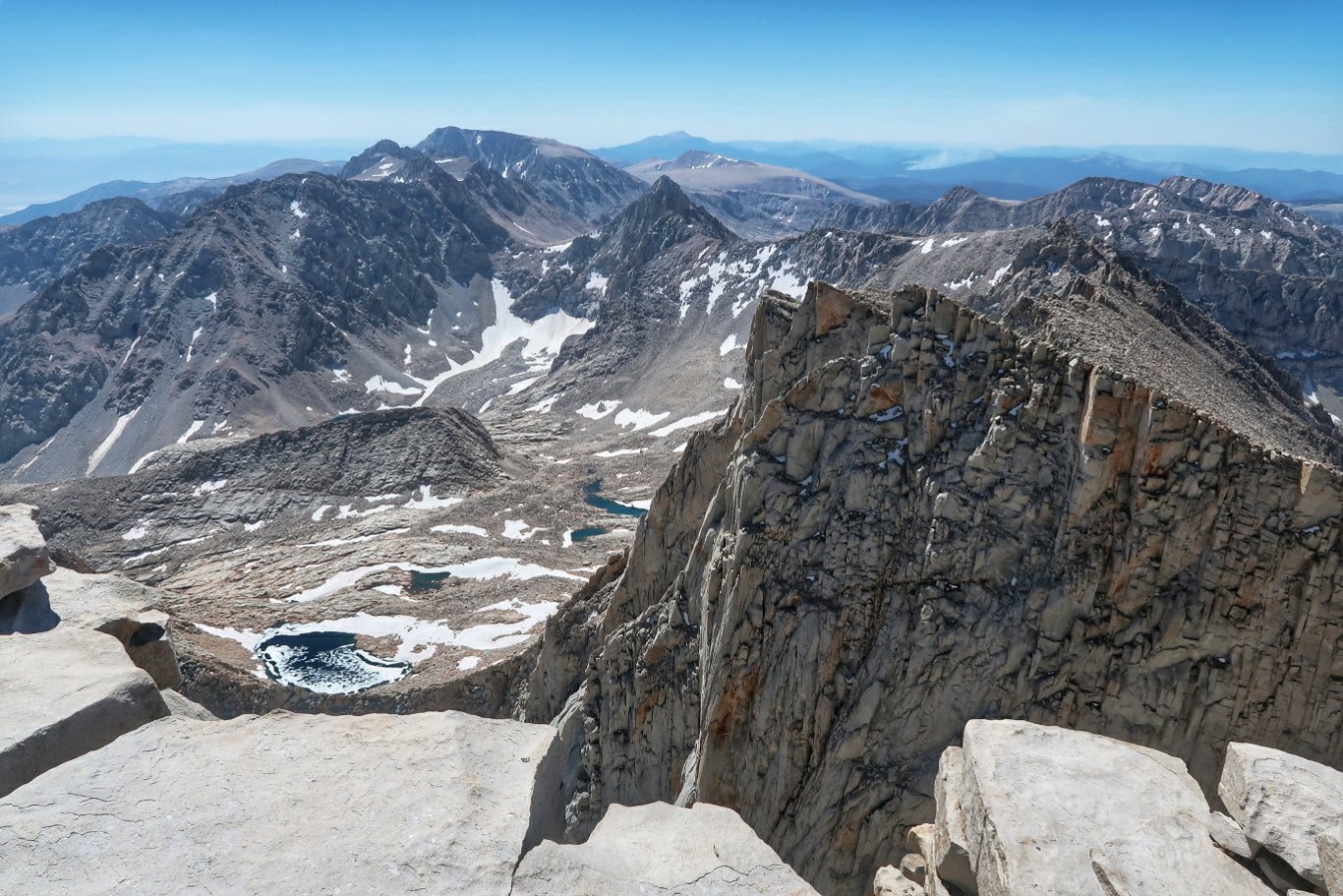
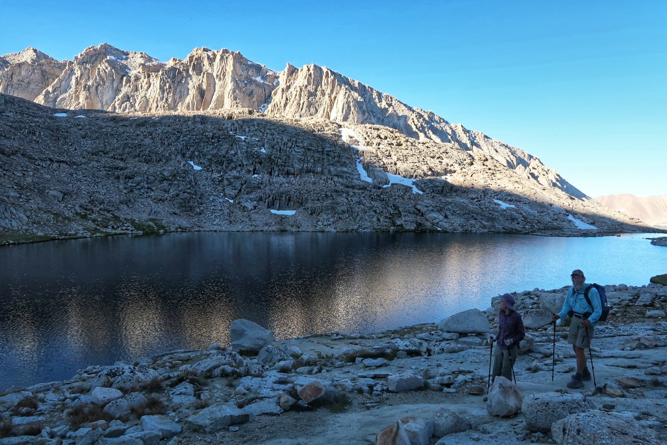 Along the way we passed some beautiful lakes and streams and we commenced the ascent from a valley surrounded by tall rocky cliffs which formed an amphitheatre. The path was a bit of a highway both in its breadth and in the number of hikers (mostly day hikers or those doing the high Sierra trail or the John Muir trail).
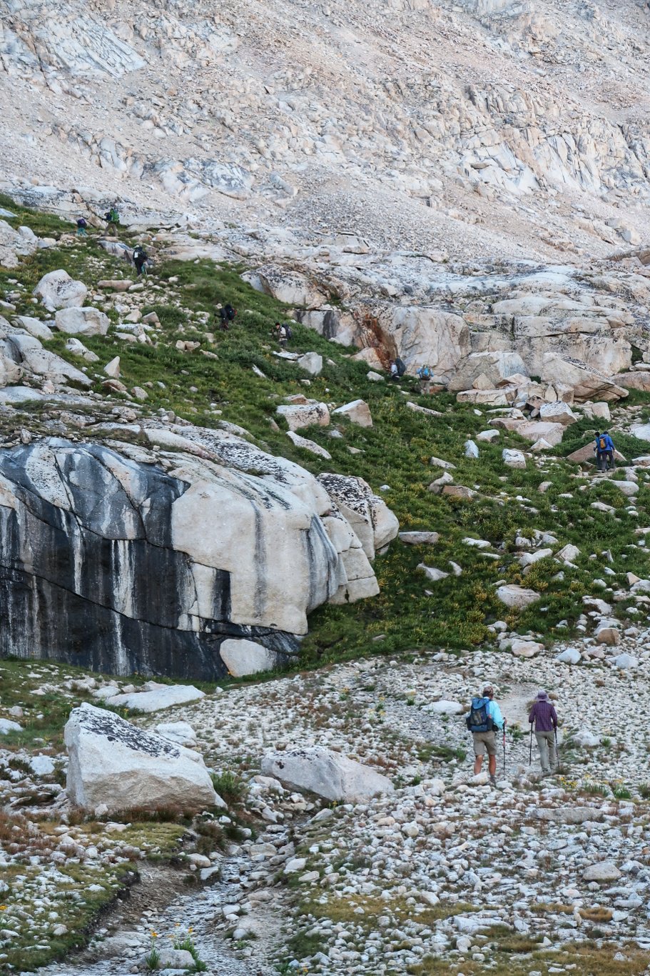
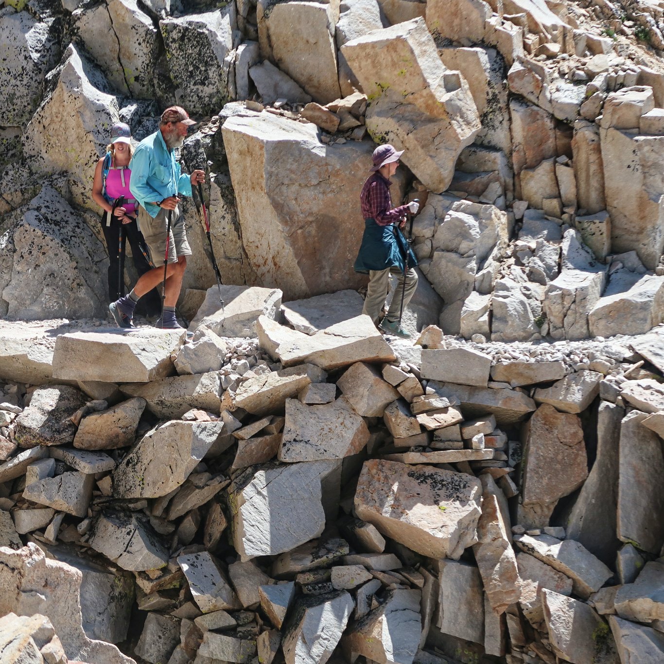
 We didn’t mind stepping aside to let others past as it gave us a chance to rest. The exertion at high altitude causes headaches, nausea and fatigue commonly and can be much worse. We both felt exhausted and nauseated at times and the going was very slow especially as we approached the peak. Once there and resting we felt elated and the symptoms abated.
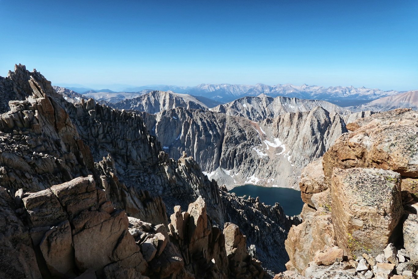
 There is a hut right at the summit but, with an iron roof, it is probably the worst place to take refuge in a thunderstorm and there is a warning about the danger on a notice inside.
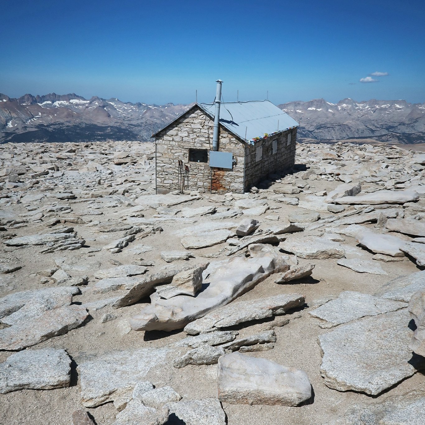

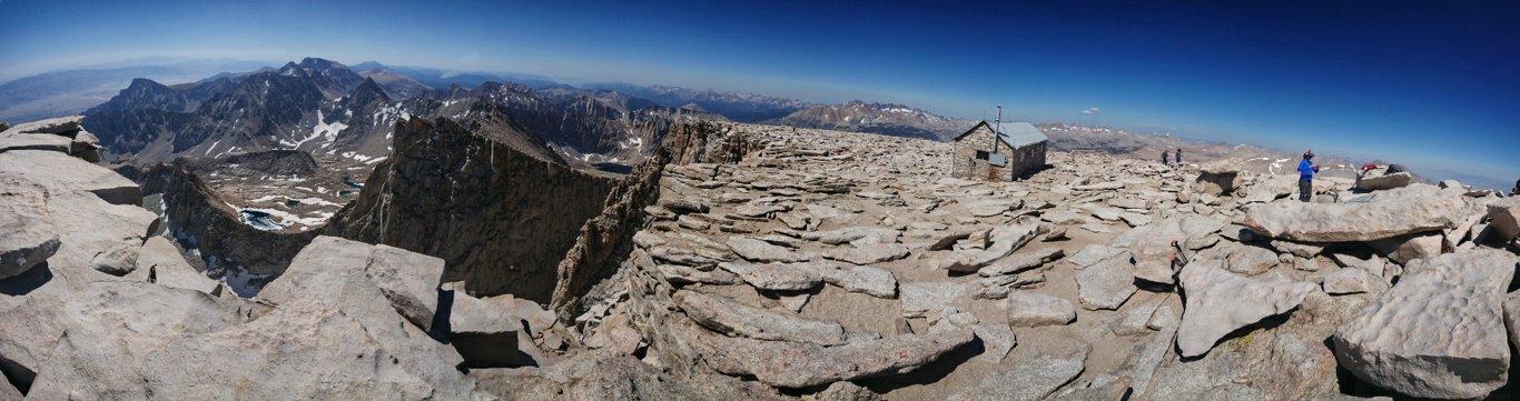
 For our day, though, the weather was perfect and we made it safely up and back down in time to pack up our gear and head a few more miles down the track.
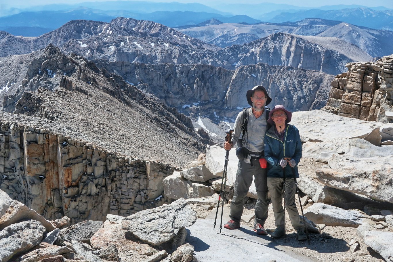
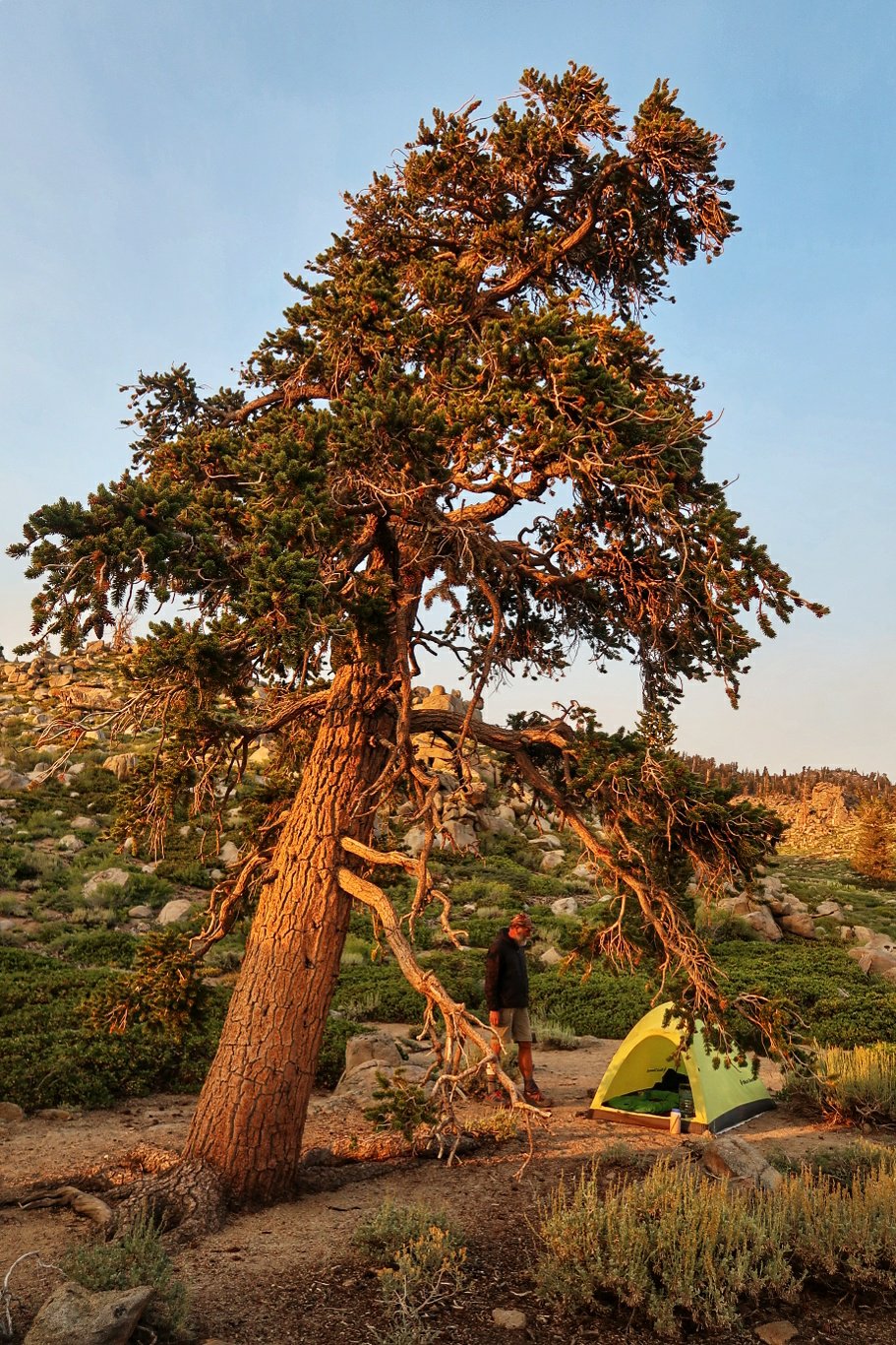
 Tonight’s campground is beside a river which unfortunately means that there are also plenty of mosquitoes.With the 17.4 miles up Whitney and back, we completed 20.7 miles but only 3.3 PCT miles.
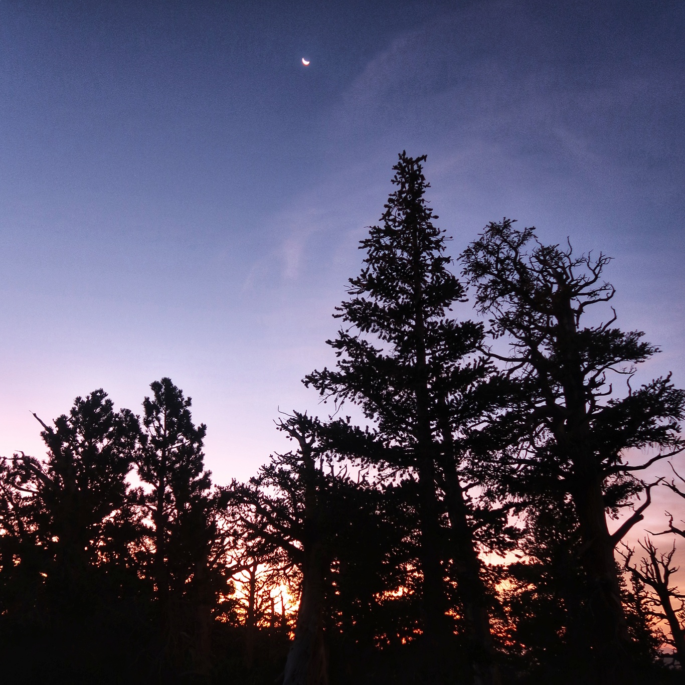
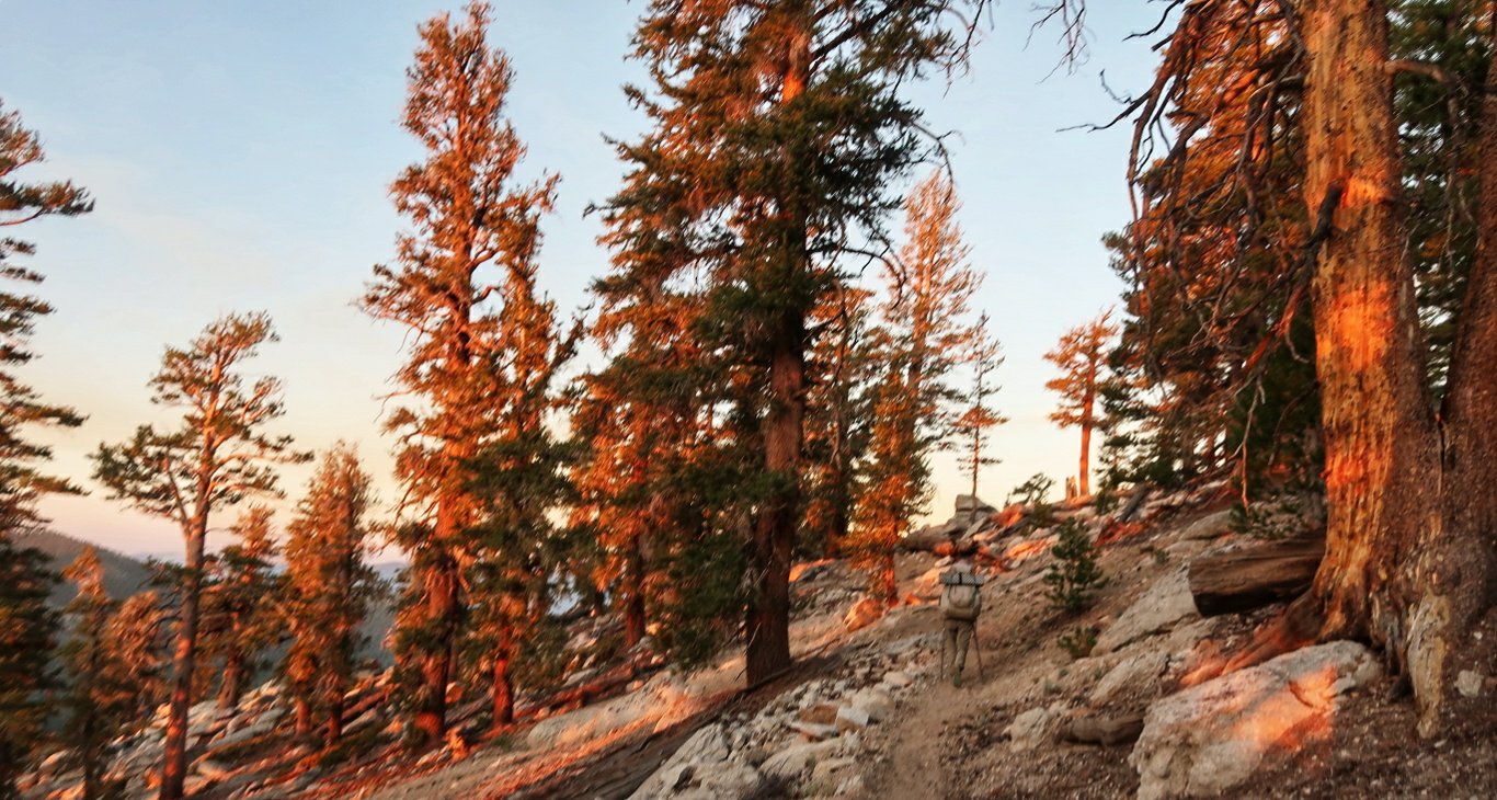
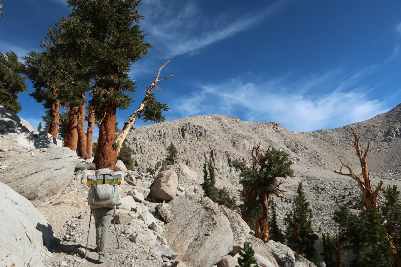
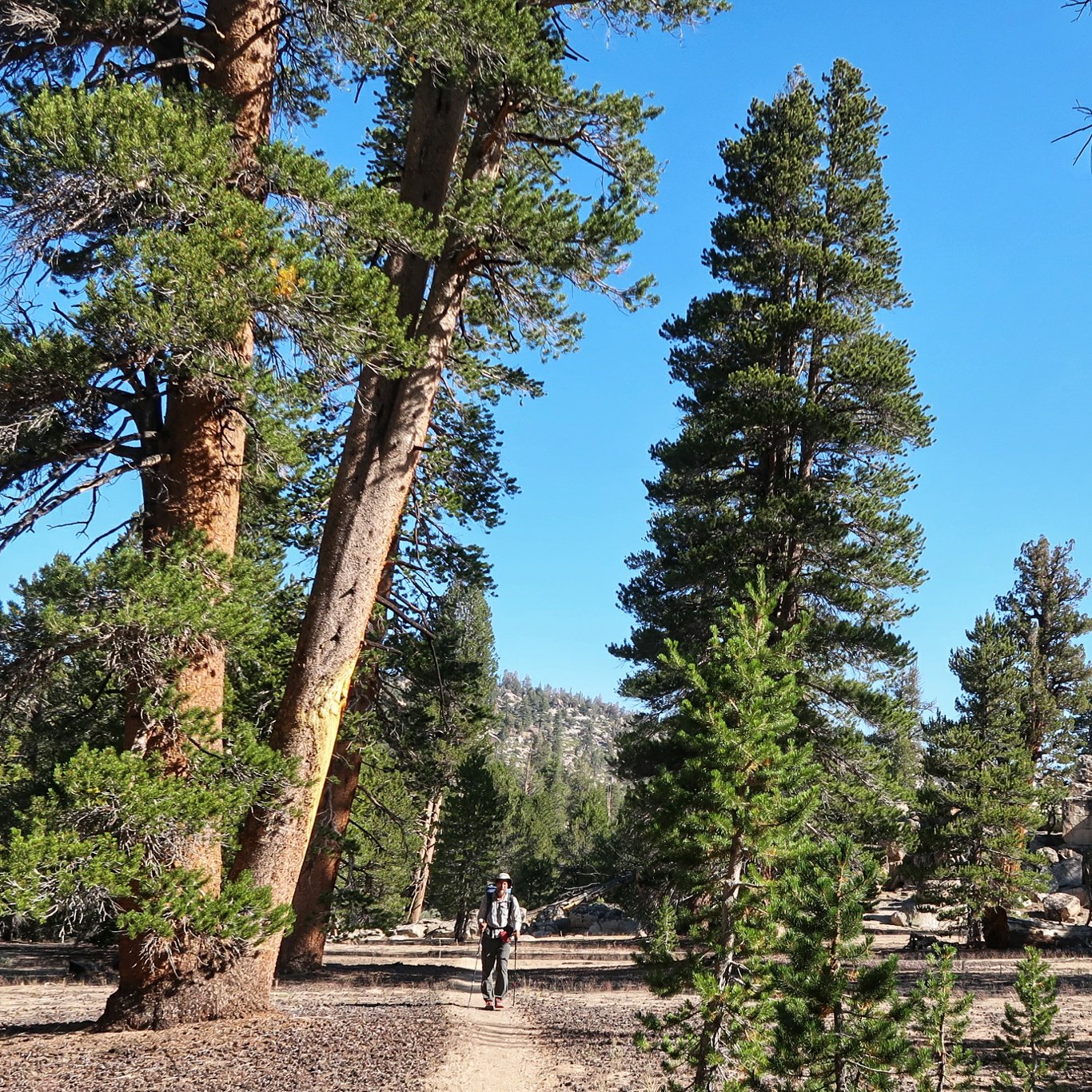
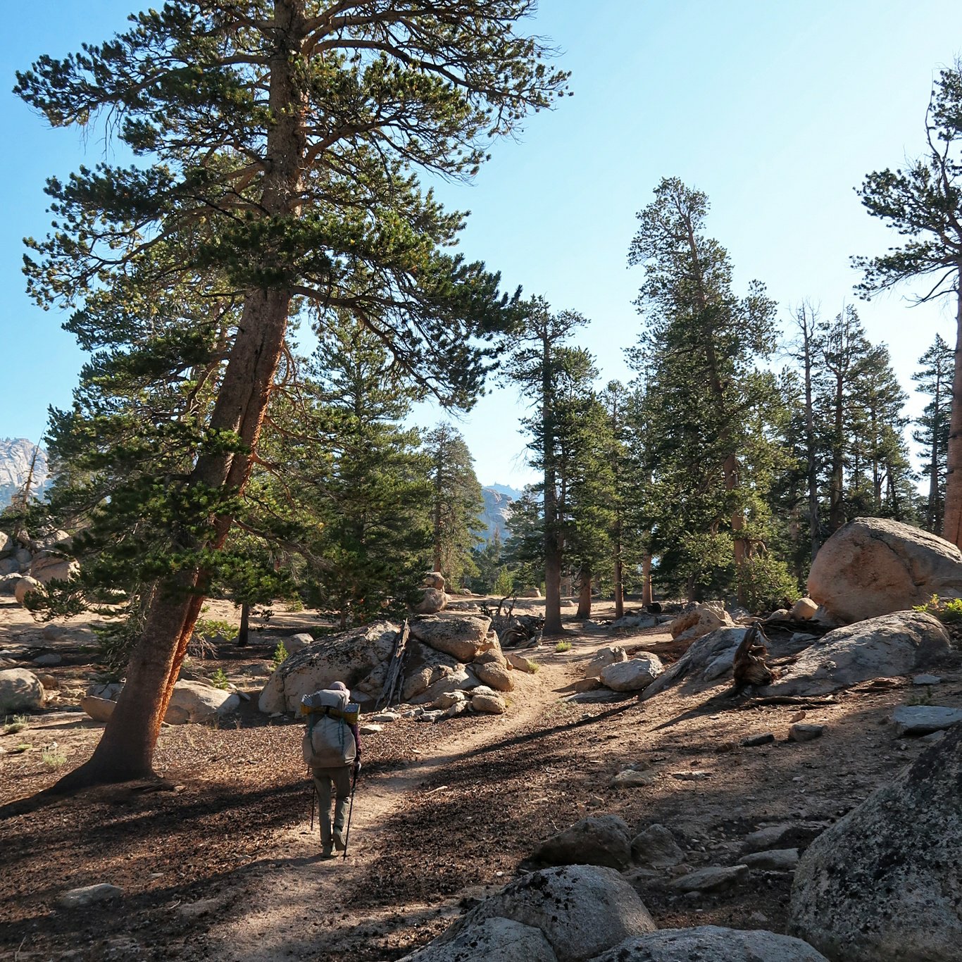
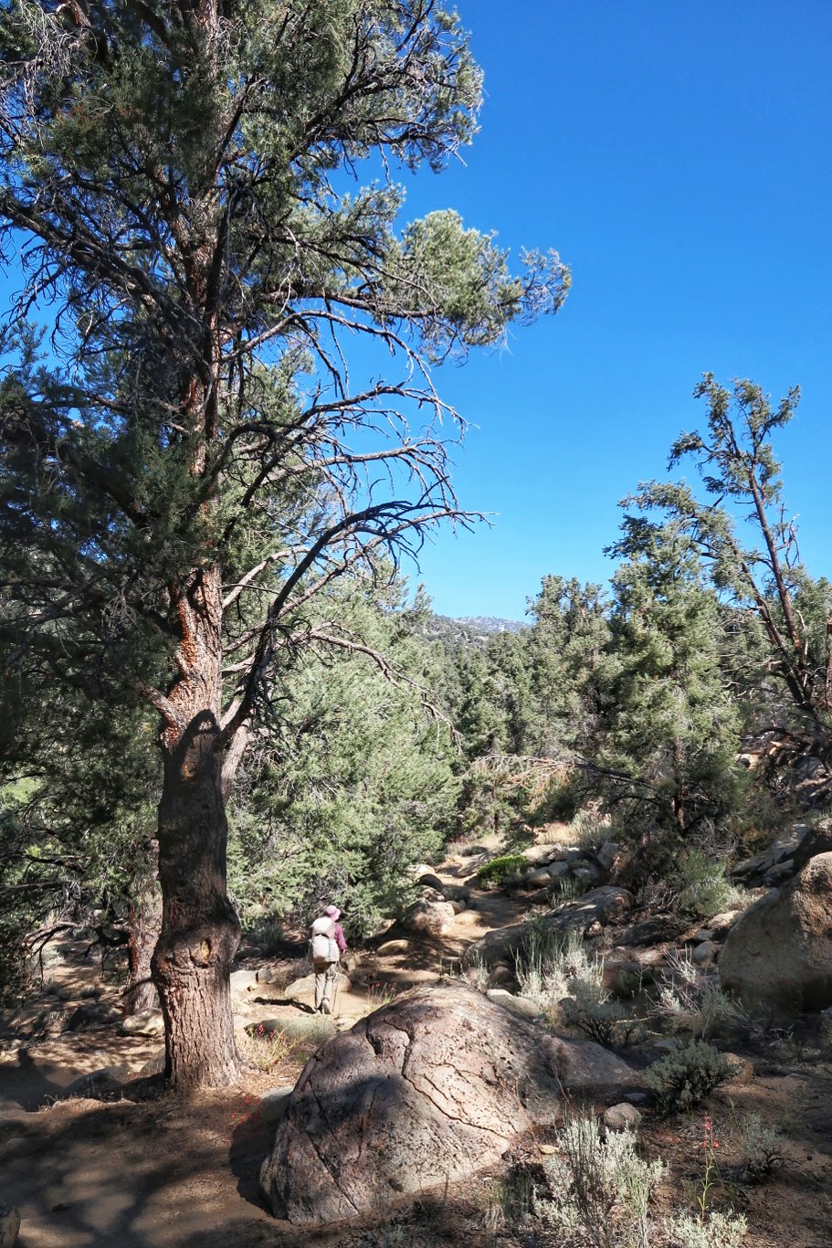
 Since we didn’t get started until after 8:30, the sun was already blazing down as we trekked on a sandy path with a slow steady ascent.There is a requirement that we carry all our food, eating utensils and toothpaste and brushes in heavy bear proof canisters which take up almost all the space in our packs.
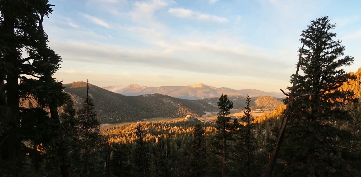
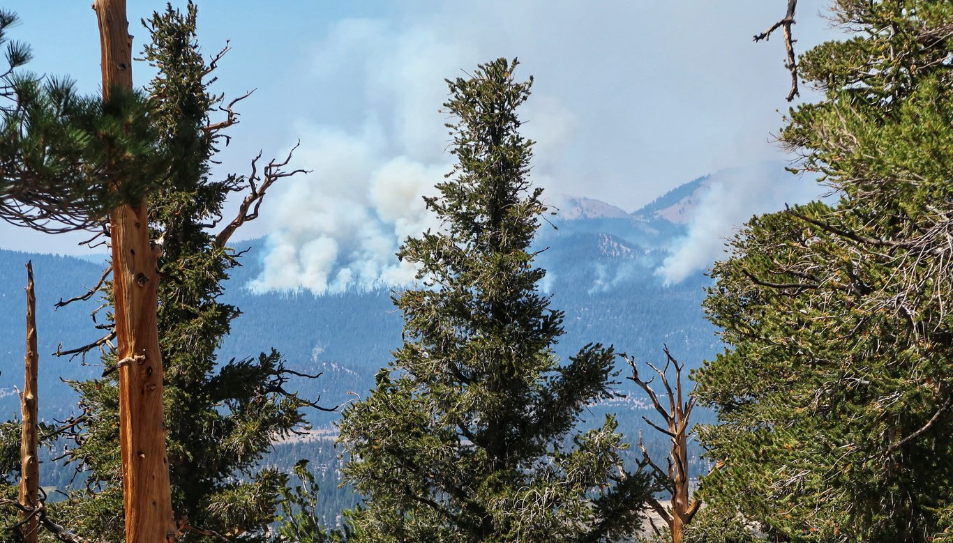
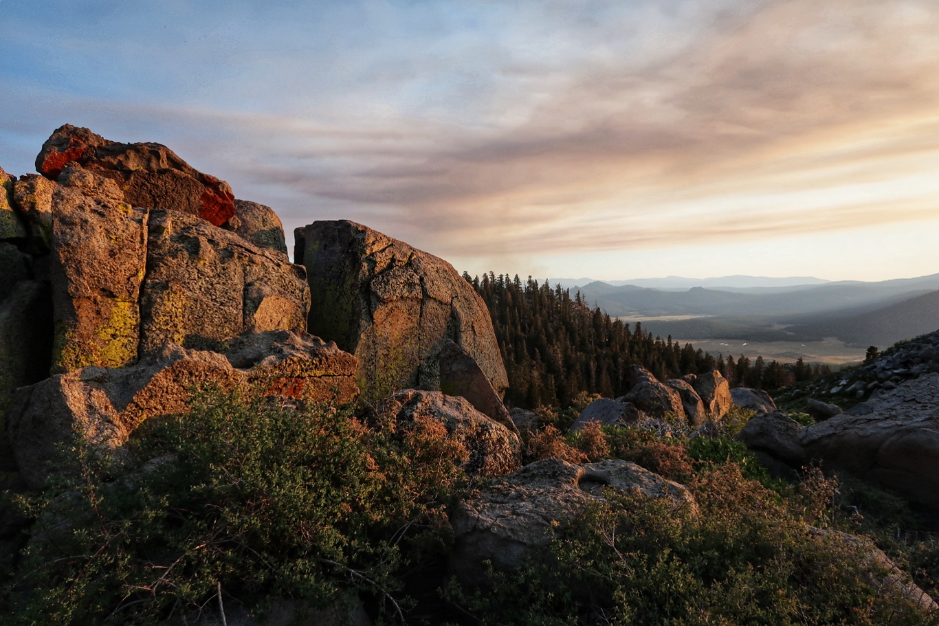
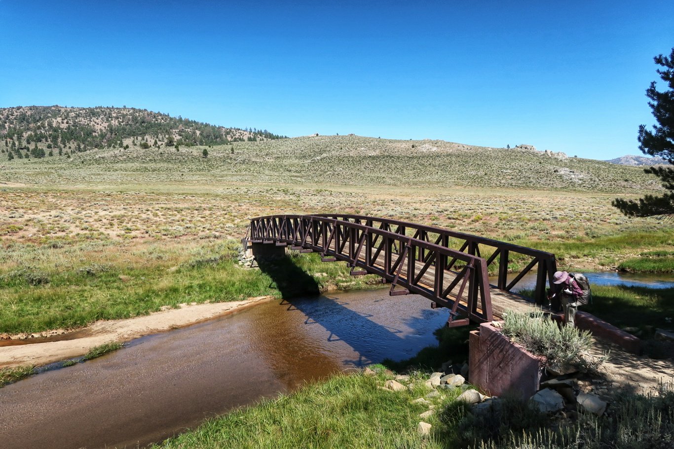 As we hiked northwards we passed a valley with smoke from a current small forest fire and to the north we can see billowing smoke from a larger one so we hope this doesn’t lead to trail closures and bypasses.
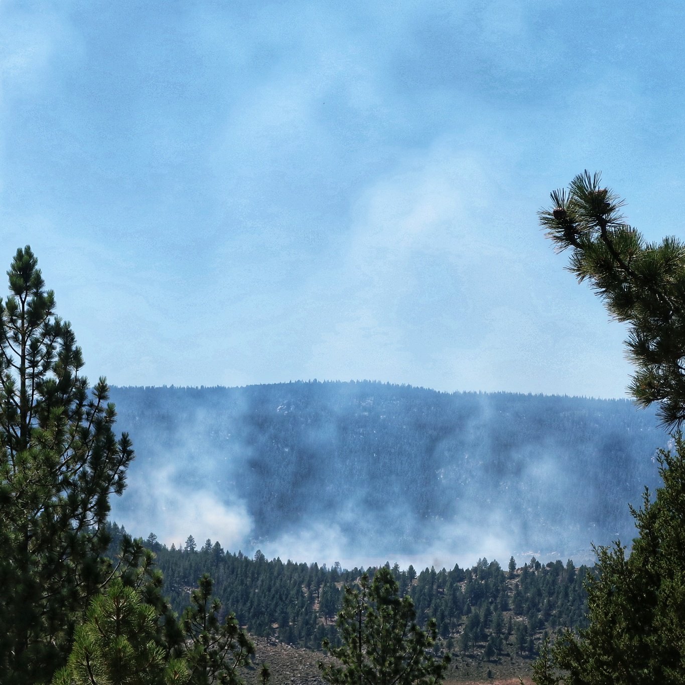 We are camped at about 9800 ft having come up from around 6100 ft. Despite the late start we managed 19.8 miles.