Day 31: D-Day
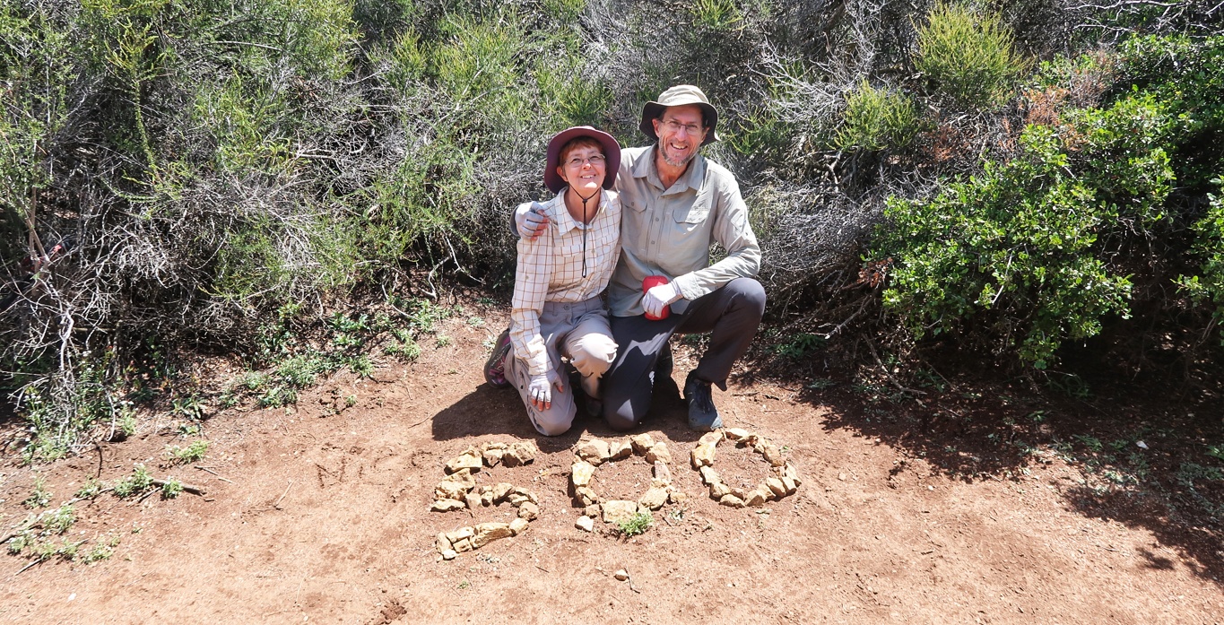
Today we had lunch at the 500 mile mark. Please forgive all these milestone reports, but you can imagine that a journey like this calls for many sub-goals, even if they are arbitrary numbers.
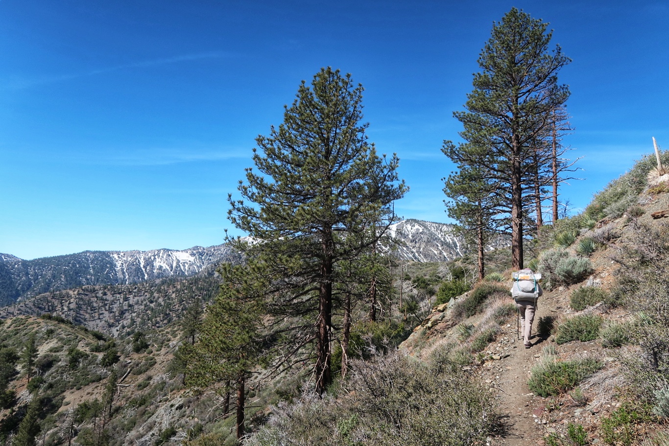
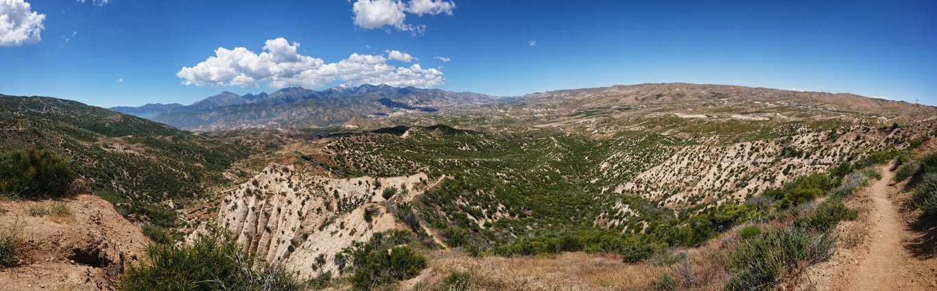
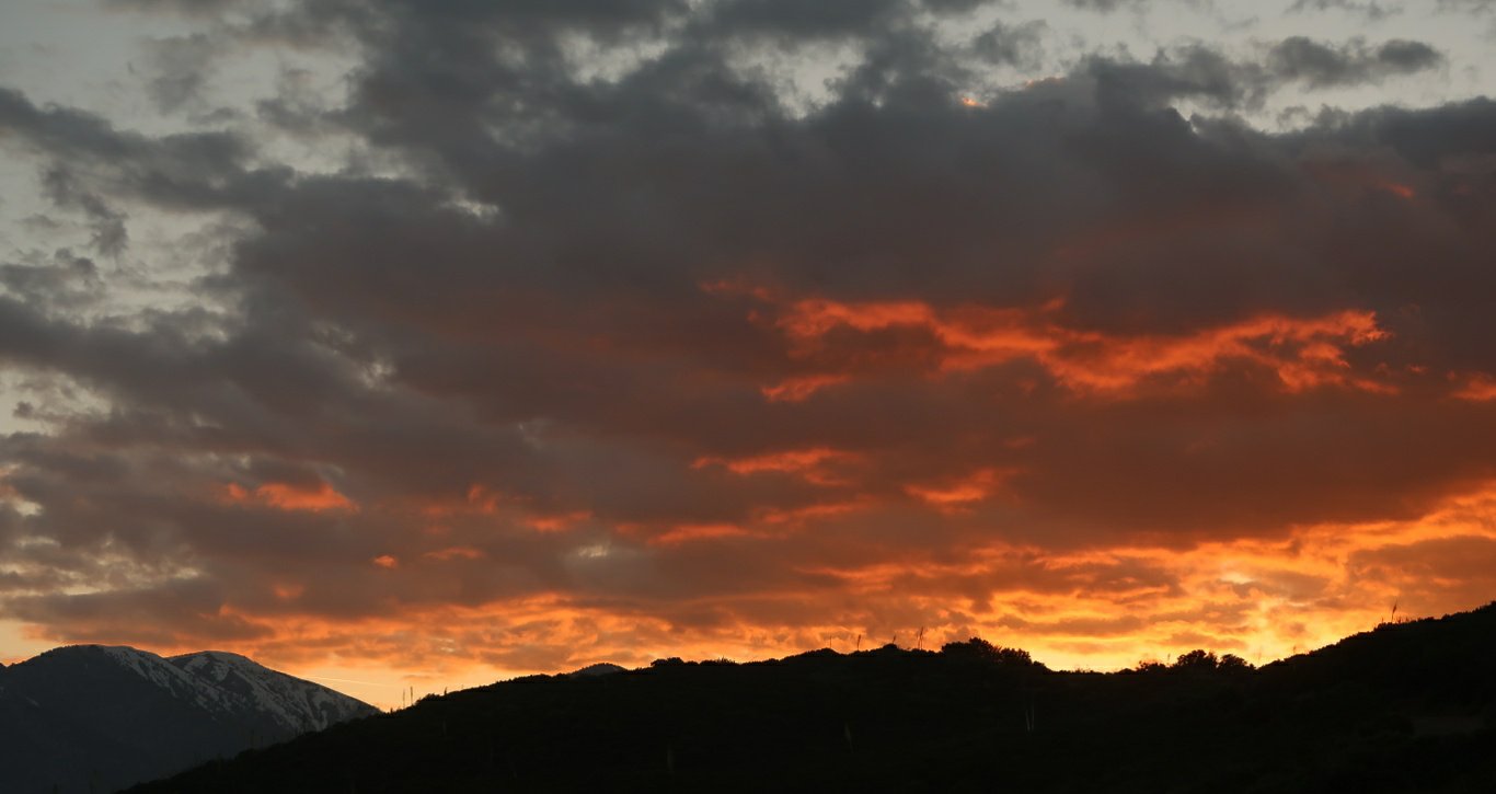
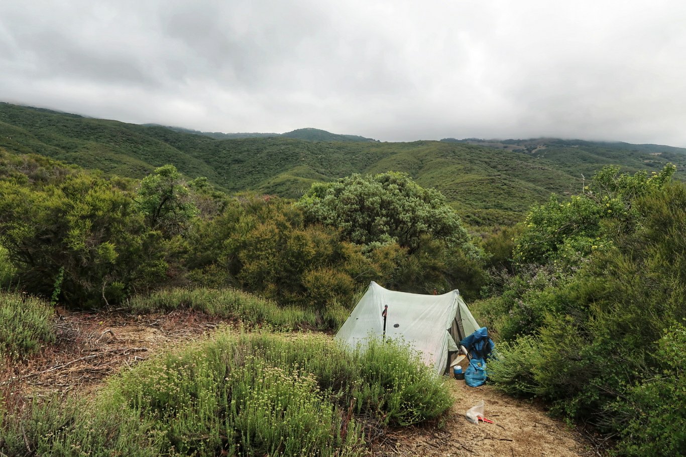
We have descended from the mountains and tomorrow will go across some flat country before climbing up again towards Tehachapi.
Camped at 510.9 having hiked 22 miles today.
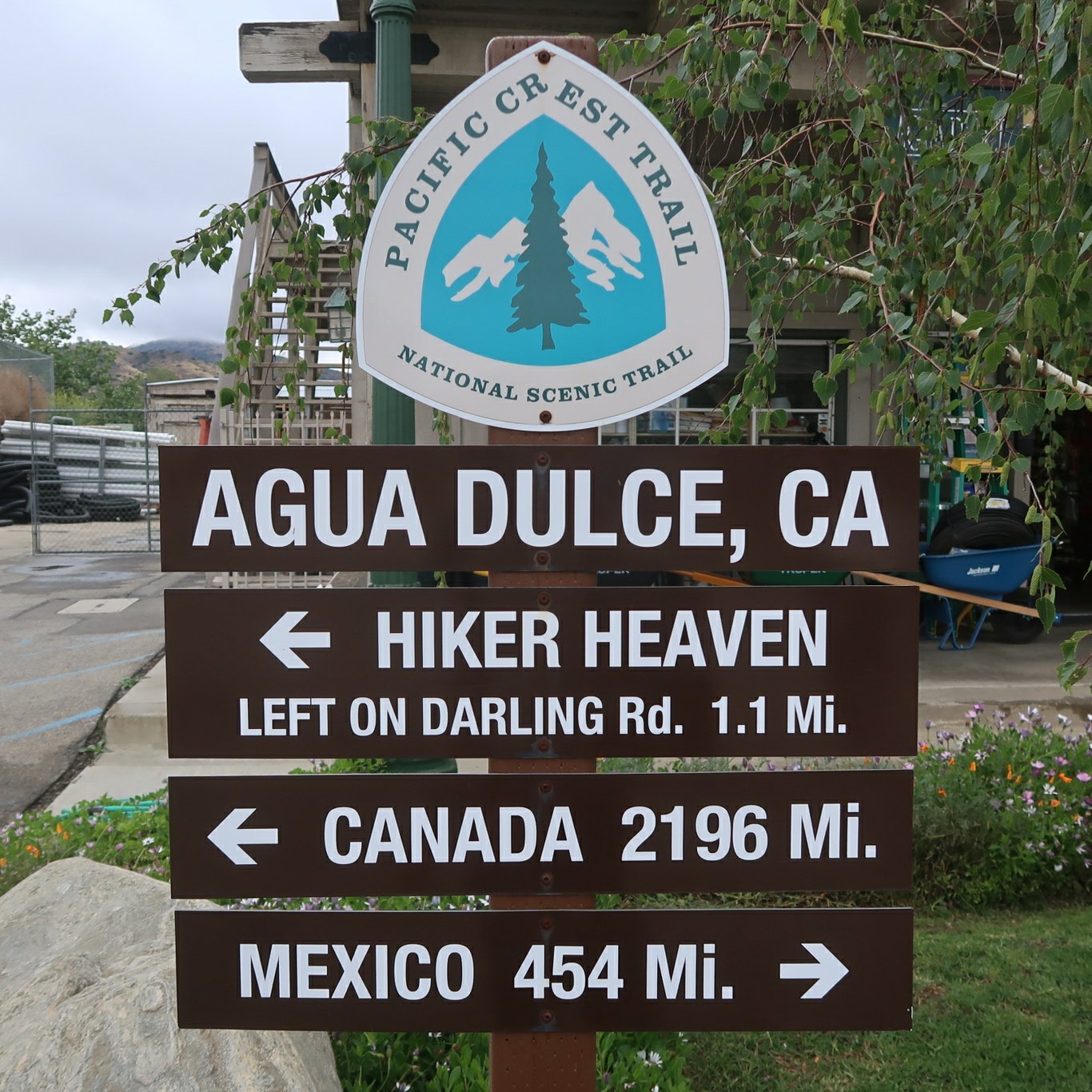
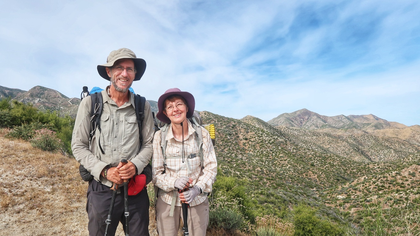
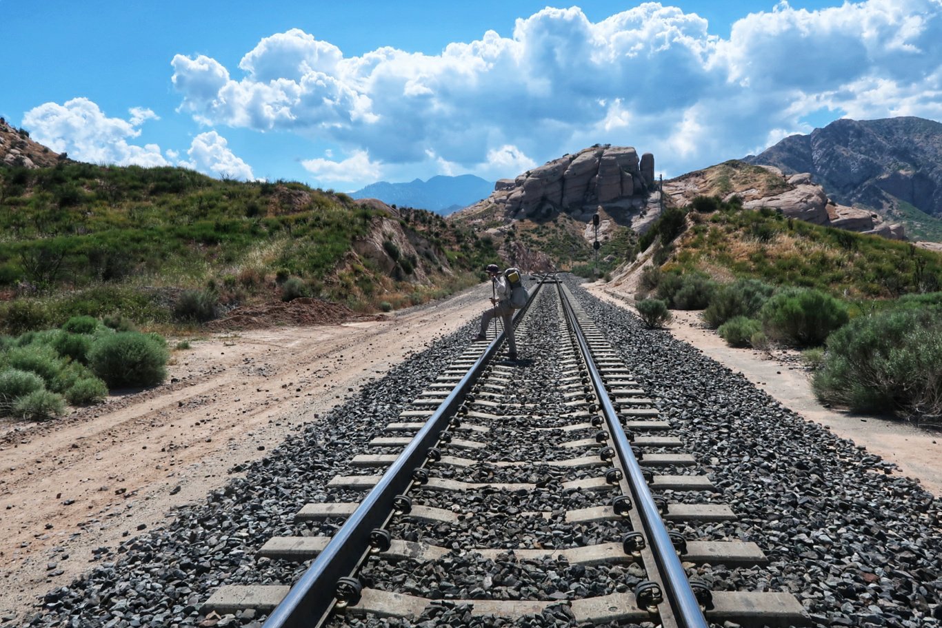
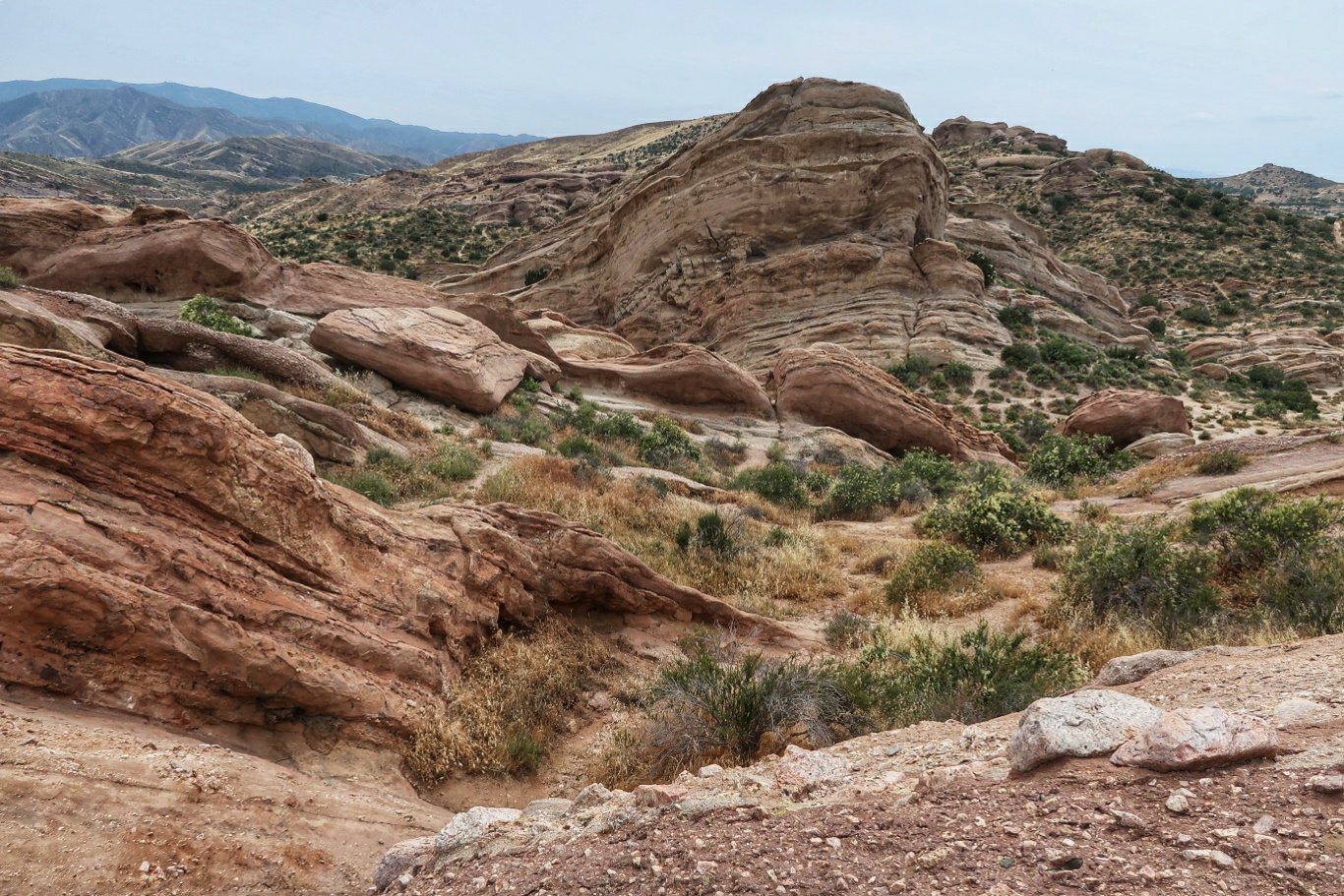
 Today was a straightforward 18 miles down (and up and down) to some interesting eroded terrain known as Vasquez Rocks. Evidently may western movies have been filmed here.
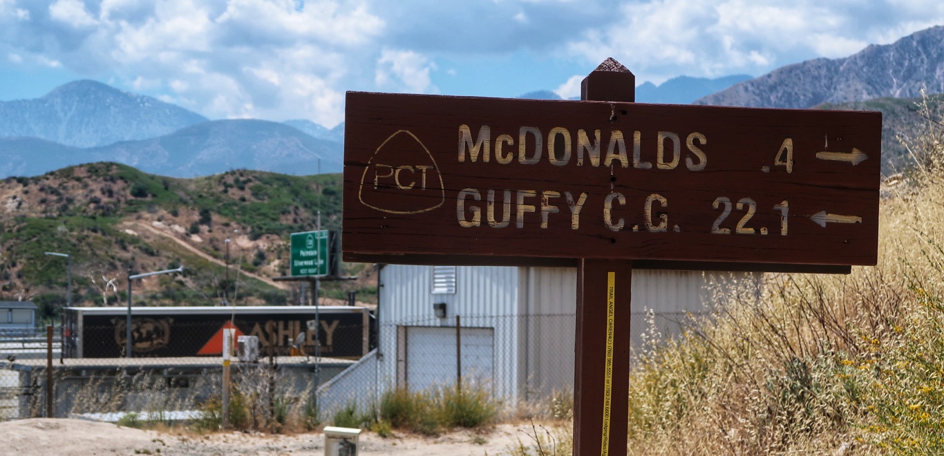
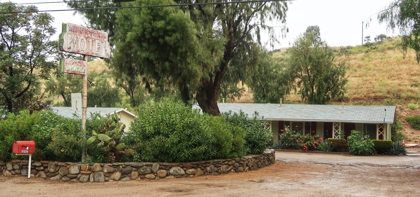
 Then we arrived in the small town of Agua Dulce. As we were drinking celebratory milkshakes, a friendly English lady got talking with us, and long story short, she and her husband drove us to a motel about 4 miles away.
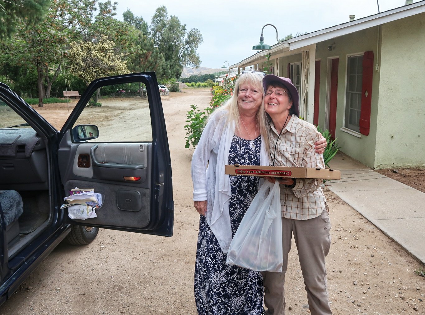 So we are now showered, laundered and dined and ready for a sound sleep. As a bonus, rain is forecast tonight and we won’t be in a tent!
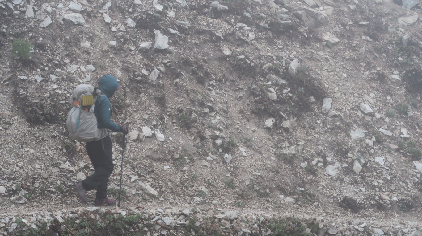
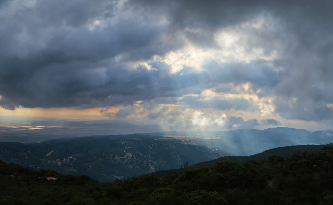
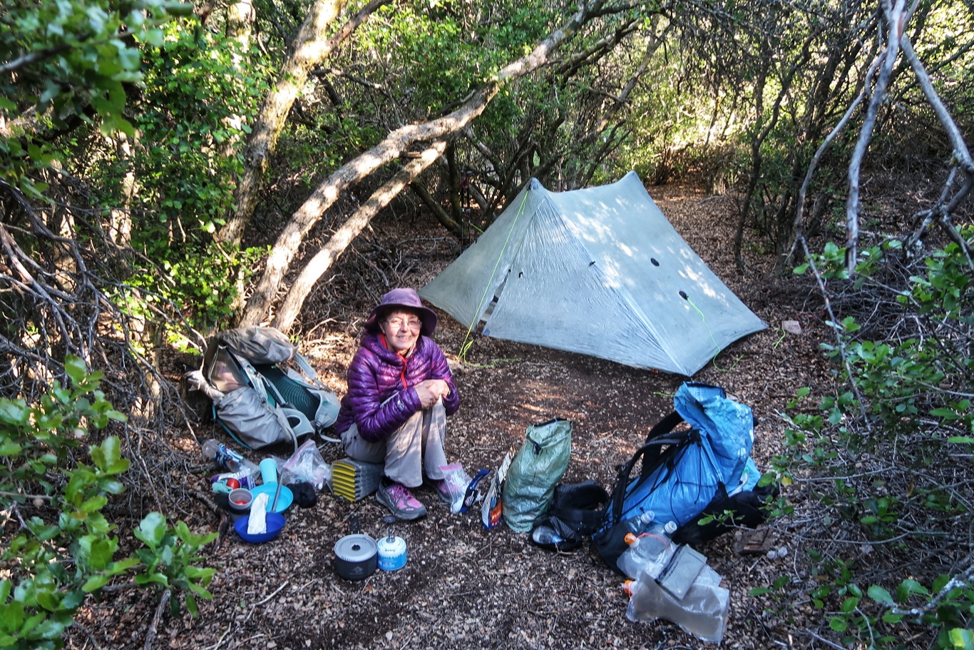
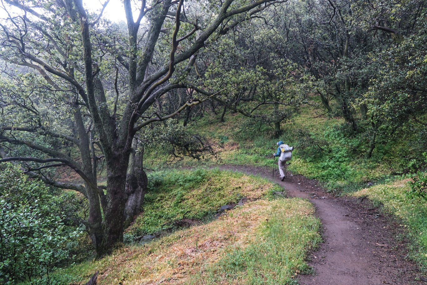
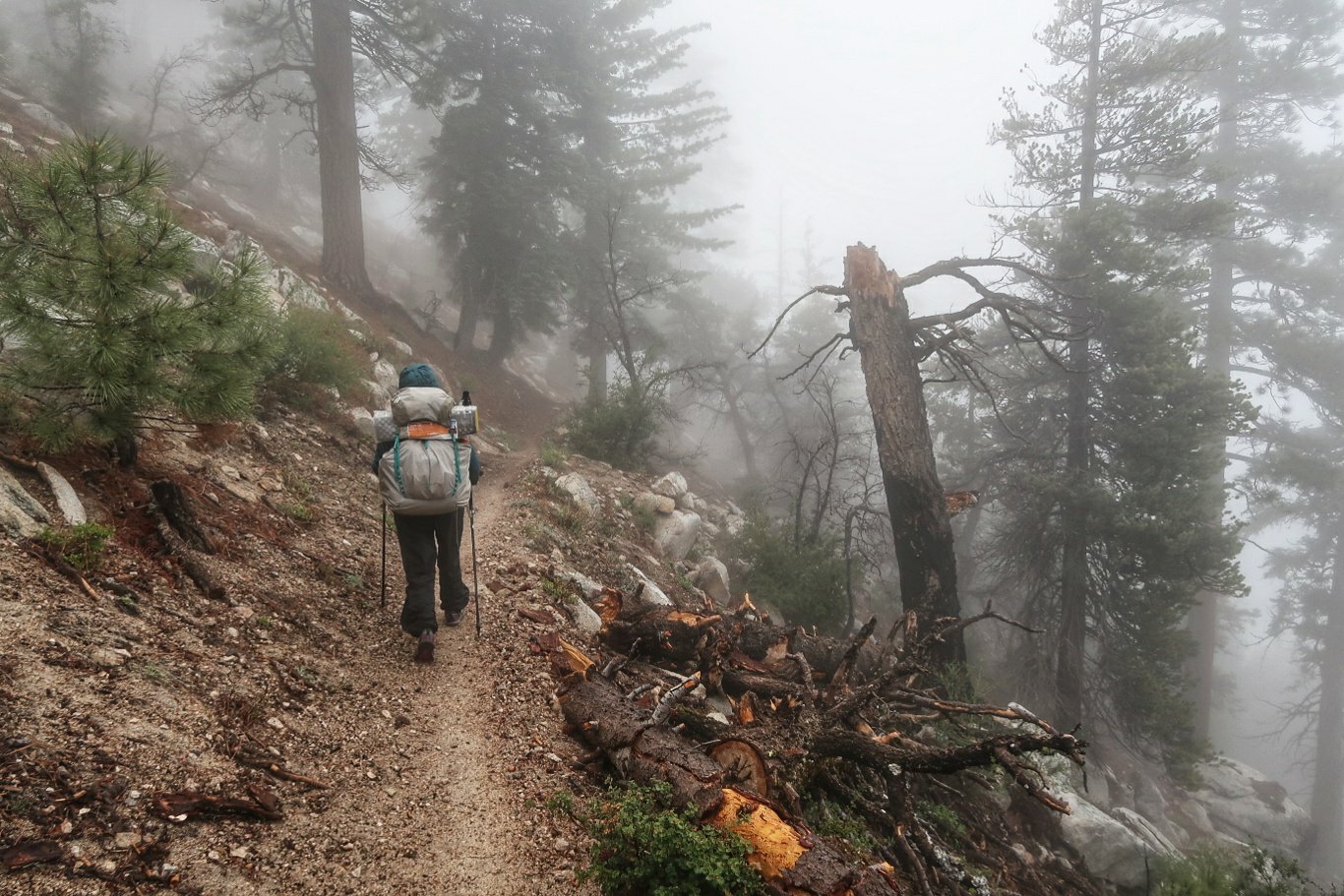 Anyway, eventually the fog dispersed and we walked through a fine but cool day. At a fire station there was also a parking area and we saw several other hikers eying their gear on the asphalt.
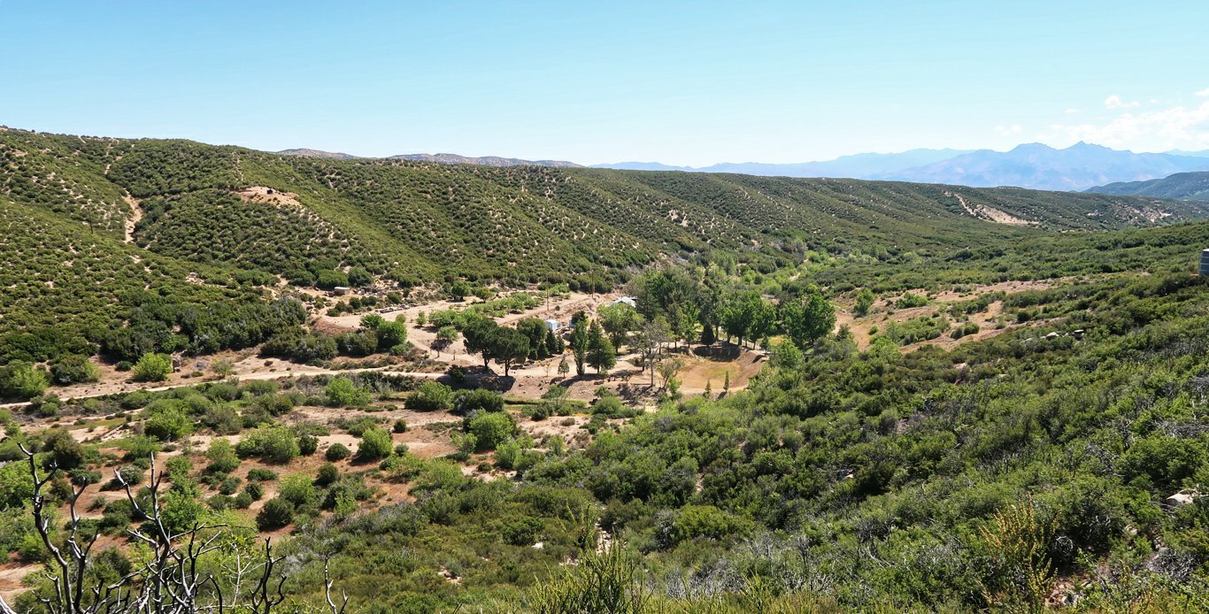
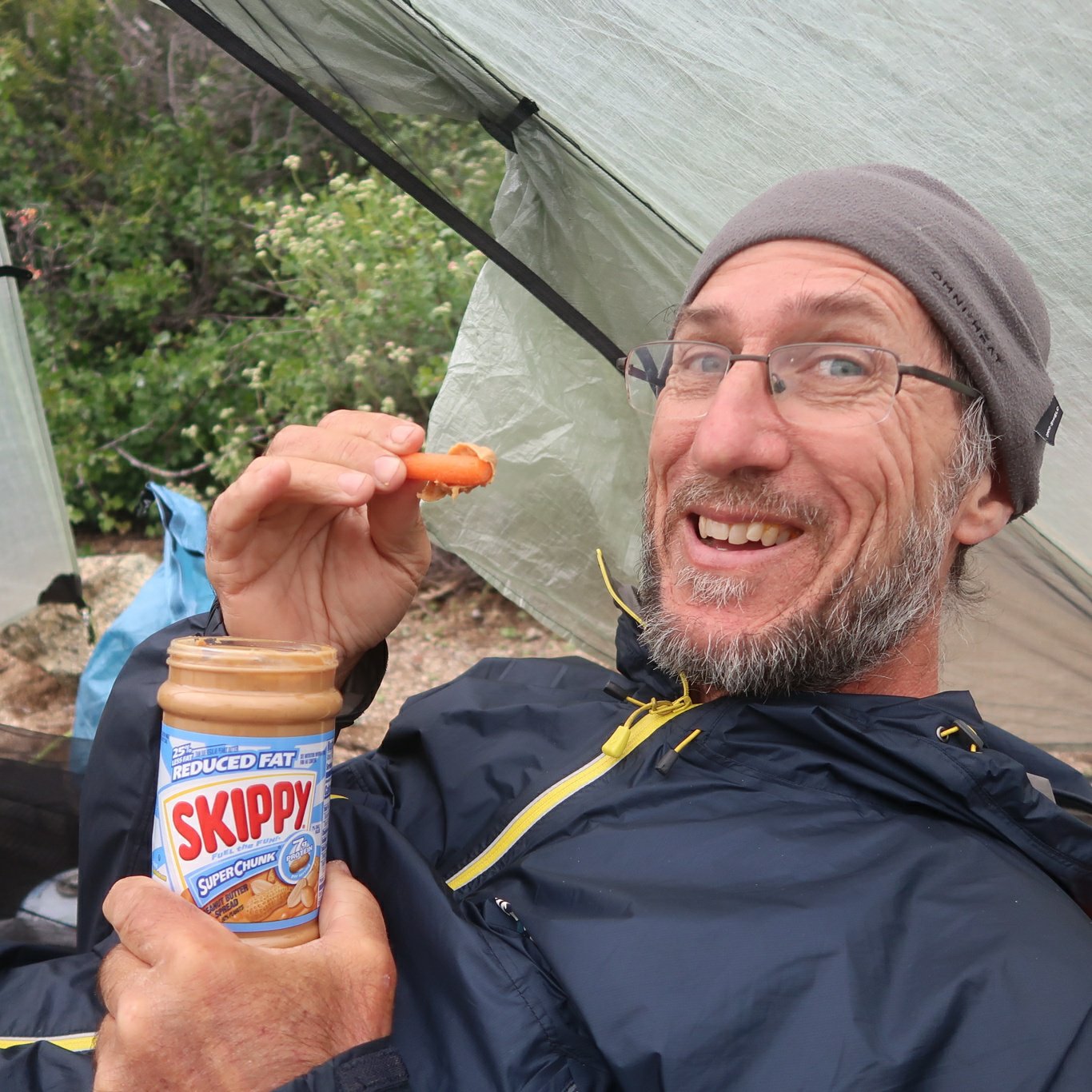
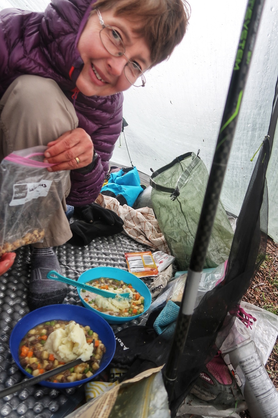
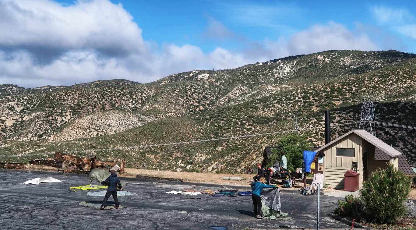 The going was good on an easy path – down a mountain, up a mountain, down again, then undulating until we reached the campground beside a ranger station.Here we found we could purchase soft drink and chips from a trail angel for $2 and a sausage and carrot each were thrown in for free!
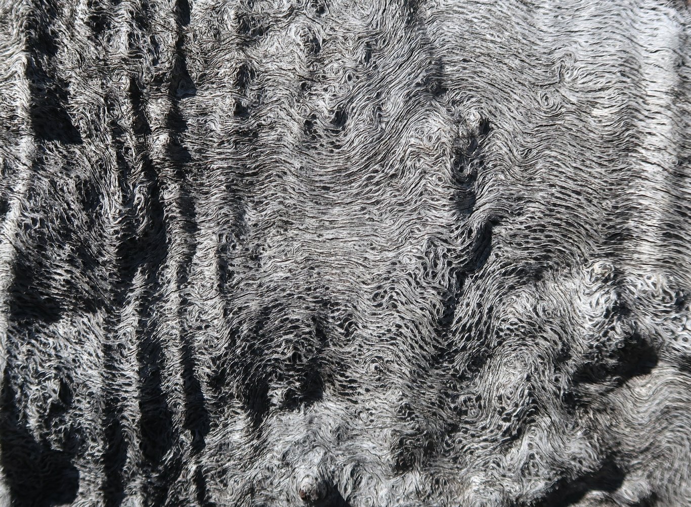
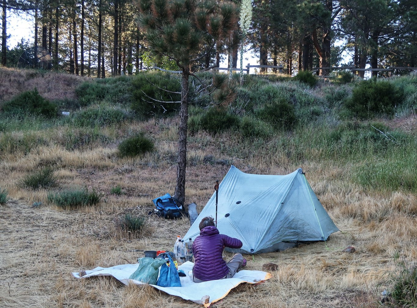 Around the ranger station (and Southern California generally) there is a particularly nasty plant called poodle dog bush (google it) which you definitely don’t want to touch. Here is a photo so you can avoid it.
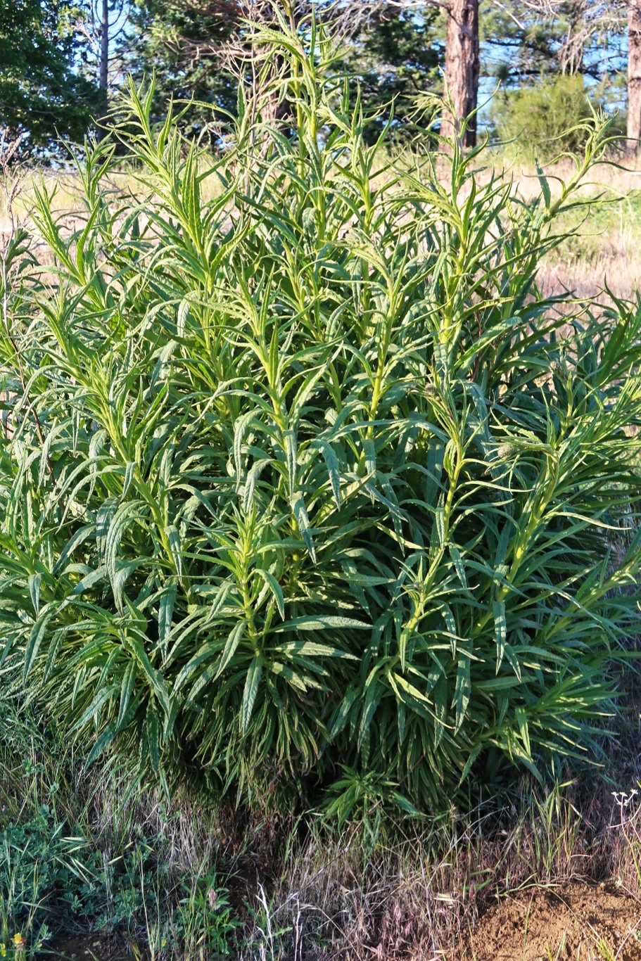
 We finally got a picture of a chipmunk.
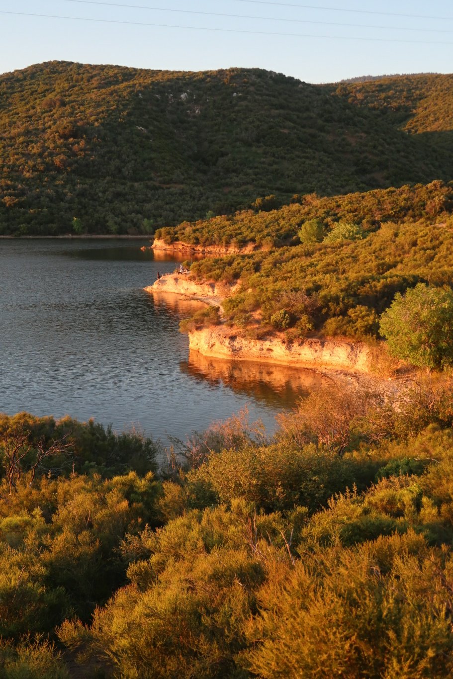
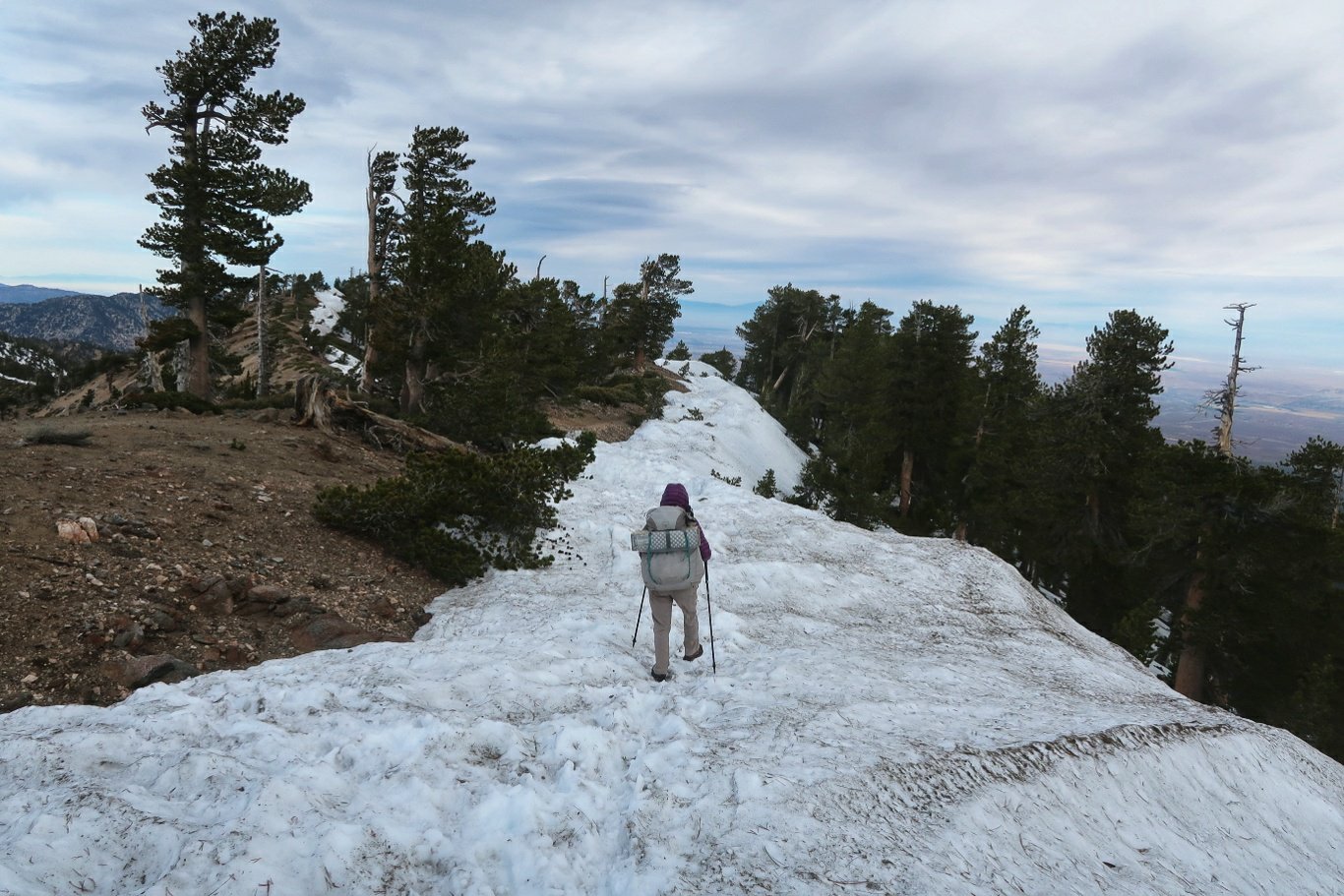
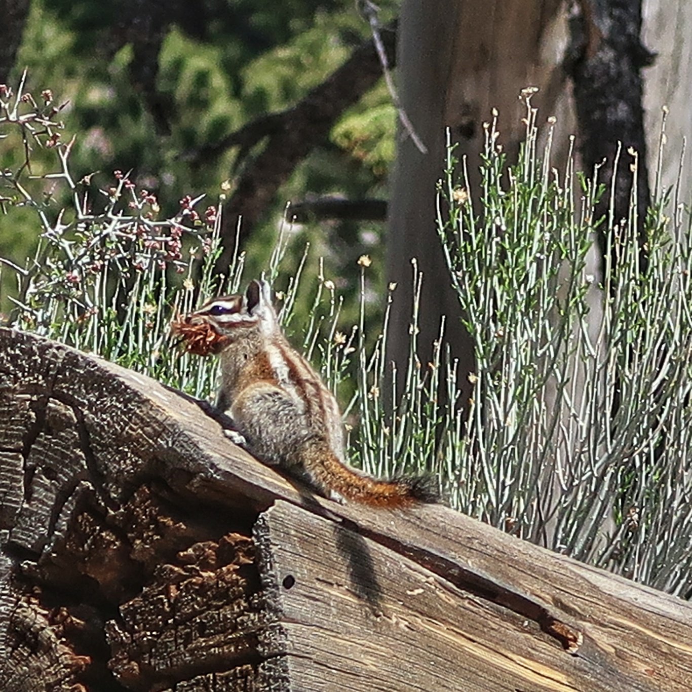 Then down again, more snow, up again, down again and eventually we got to our first PCT closure – closed to protect an endangered yellow legged frog. So it meant a 3 Mile road walk bypass, but we got to a very nice campground.
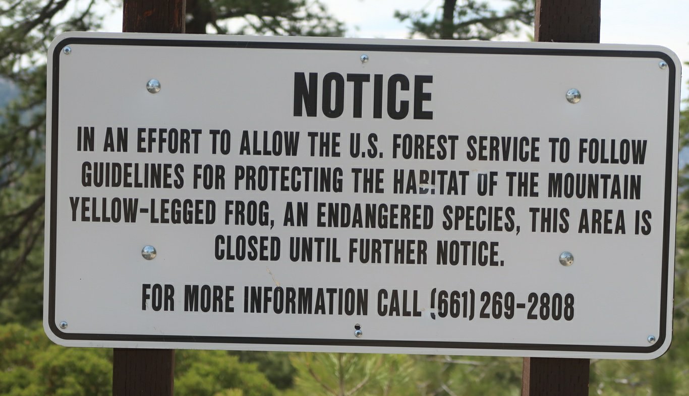
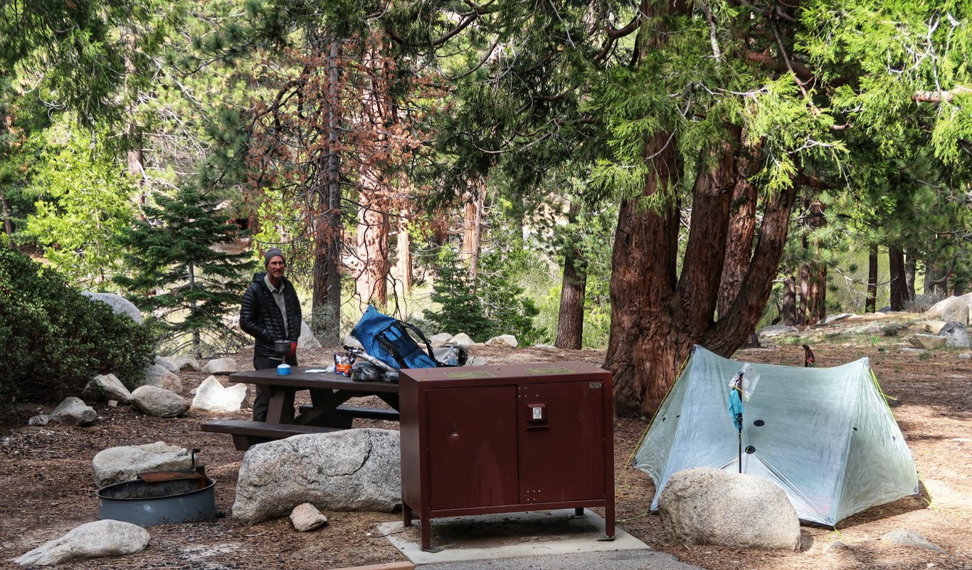 Tonight all our food is stored in a bear-proof locker.
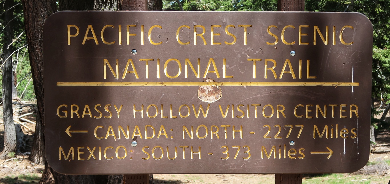
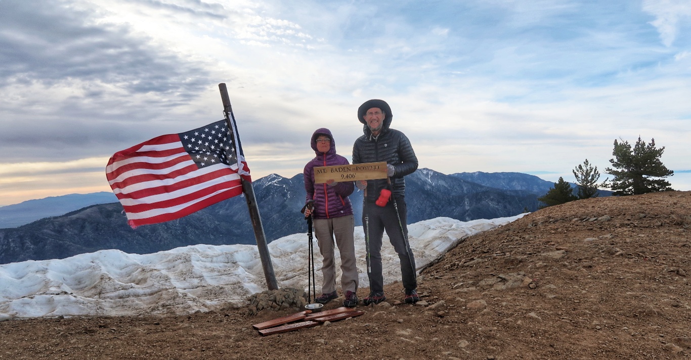
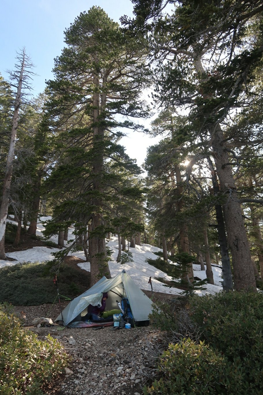 Tomorrow we go up to the summit at 9390′ then down the other side like the proverbial bear.