
Mt Taylor
June 3, 2025
‘Red line’ mile marker 523.1 to 547.4
Hiked today: 24.3 miles / 39.1 km
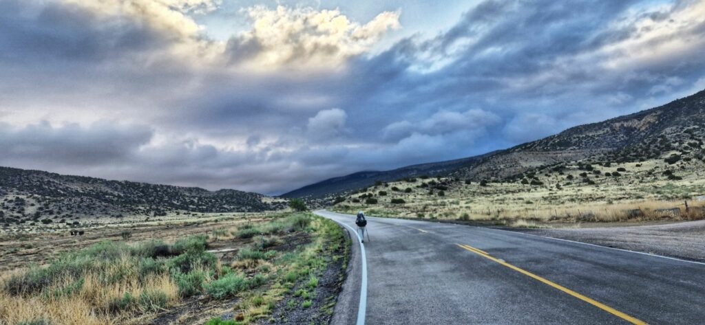
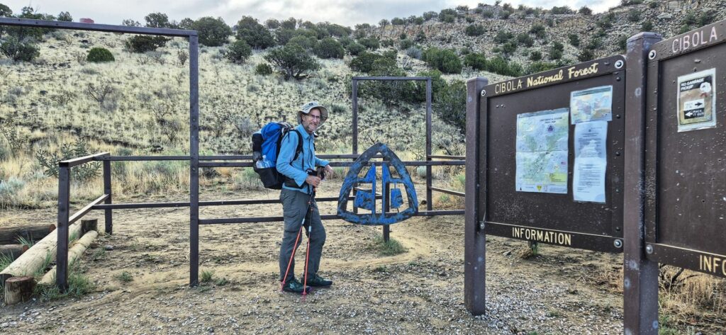
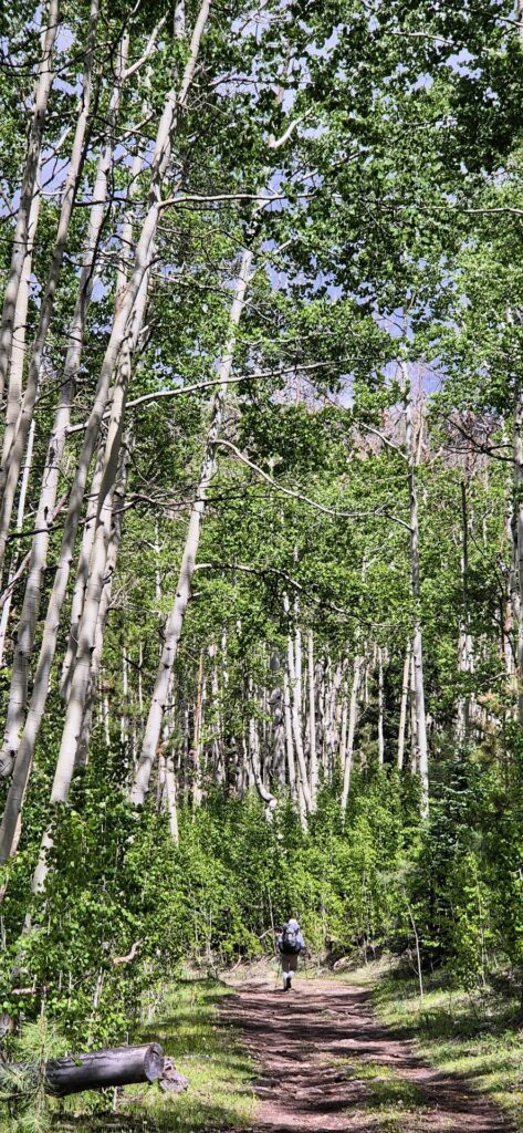
Today the initial 6 miles was road walking – through outer suburbs of Grants, then further north, passing the Western New Mexico Correctional Facility. Signs along the road warned drivers not to pick up hitch hikers! Then we were finally at the CDT trailhead and climbing the foothills to the base of Mt Taylor – the highest mountain in New Mexico.
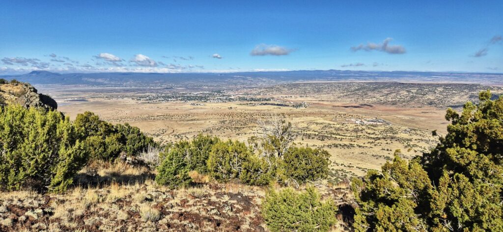
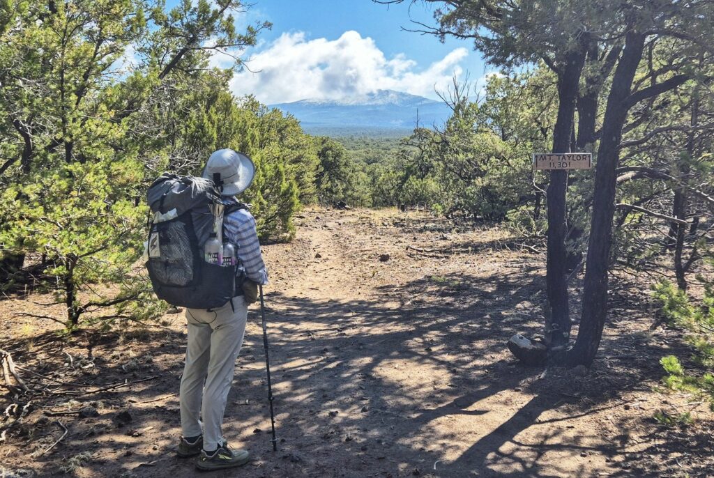
We enjoyed the cooler air at this higher altitude and we saw some good views of the valley below as we climbed. The trail took us around the mountain base, and we decided against taking an alternate track up to the summit.
Russell walked up to our lunch spot just as we were leaving to hike on. He is moving faster than us but didn’t pass us as we trudged on through the afternoon, so we think he may have decided to set up camp a little before us.
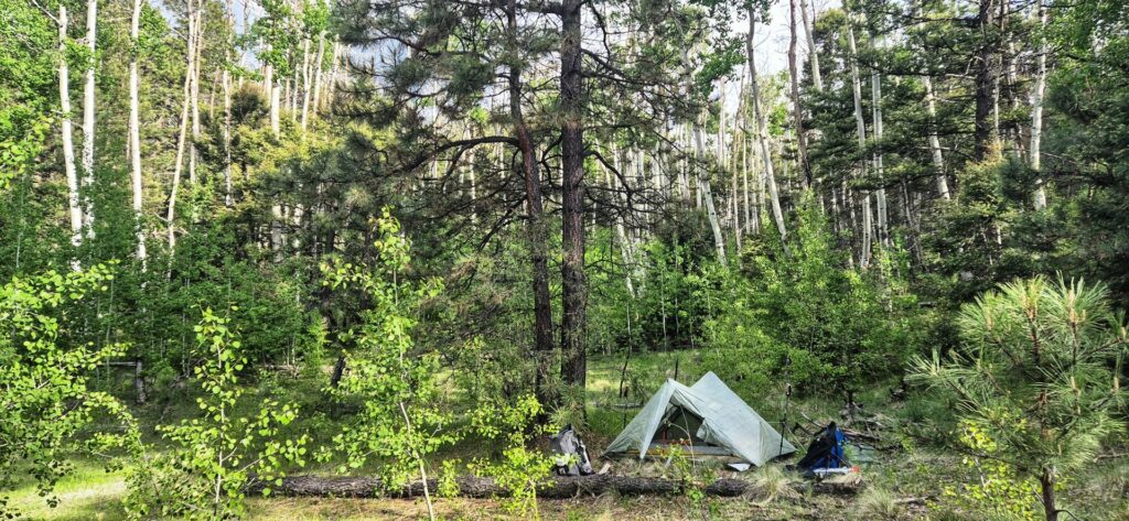
It’s been a tiring day but we are pleased with our 24 miles and 4300′ total ascents.
1 thought on “Mt Taylor”
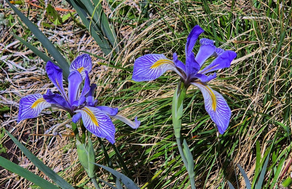
Stunning land scapes guys! And classic flower shots dad